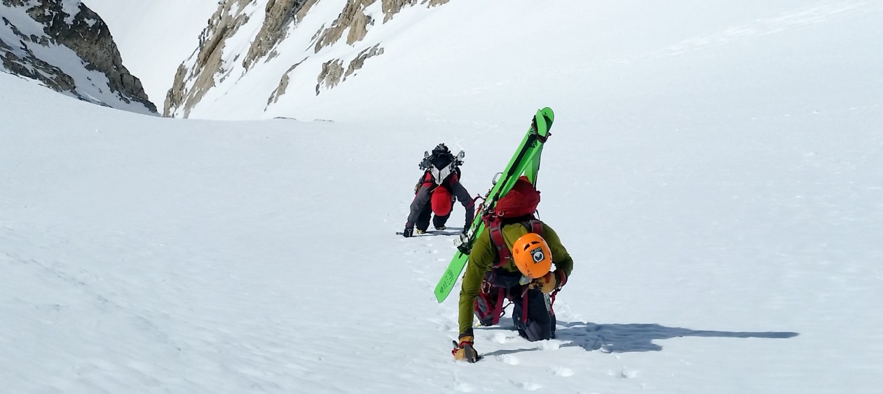
Location: GTNP, Prospectors Mountain, Open Canyon
Elevation: 11,180′, 4,894′ gain/loss
Distance: 14 miles RT
Difficulty: 3+ stars
Time: 6-9 hours
Trip Report:
Date: 1/13/2016
Snow Conditions: Powder, consolidated powder between 10,000′ and 8,000′, wind crust up high-first 400′, sun affected snow down low
Tuesday night, while tuning some skis at Teton Village Sports–Tristan and I discussed what we should ski the following morning. There was a chance of some weather blowing in, so we immediately ruled out a few objectives we had been eyeing in the high alpine and decided on skiing something that I was able to accomplish last year. The Banana Couloir is not quite a couloir, but rather a large gully that runs from the northeastern shoulder of Prospectors Mountain into Open Canyon. It is fairly steep towards the top, but mellows out near the bottom. It is a big avalanche path and does have a cliff/waterfall at its precipice, so it is not a run to be taken lightly.
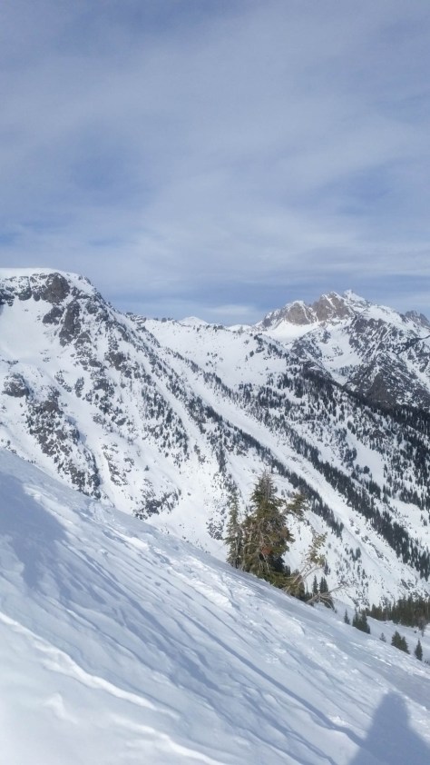
The main difficulty with the run is the route finding. When we skied it last year, we went north on Moose-Wilson Rd, then cut left at a point and broke trail into Open Canyon. This worked, but I thought that going towards Olive Oil on the normal skin track, then continuing on into the canyon would be a little faster. I also wanted to test out my navigation capabilities on my new Suunto Traverse. I mapped out the route to the base of the Banana the night before and was hopeful that it would work.

Tristan, Stu and I left the Granite Canyon Trailhead at 7:25am as another group was getting ready a few cars away. As we passed them, we asked what they were planning on skiing-already pretty sure it was the Banana because of the ice axes. They confirmed our suspicions, but we were going to have a head start and felt comfortable sharing the line if we had to.
We cruised out on Moose-Wilson Rd., cutting left into the woods about a half-mile from the trailhead. We followed the track all the way to the northeast ridge of Olive Oil, then continued right (North) into Open Canyon. We were following an old skin track, but my Suunto said we were on target-so we continued on. Eventually, we made our way into the canyon and a clearing. We knew we were a little ways down canyon from the end of the couloir, but decided to take the faded skin track in front of us up for a bit, then cut left and make our way into the Banana.
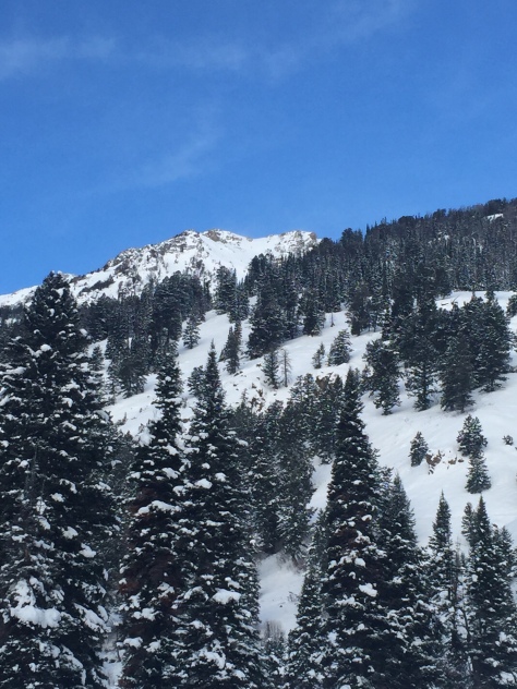

We worked our way up on the track, eventually breaking trail left at 8,600′. We knew that the “V-Couloir Gully” was pretty nasty and wanted to be below that. It worked out perfectly and we made our way across that gully and then into the east ridge of the Banana.

We cruised up the ridge, slipping at times on a sun crust/faceted snow, but making good time. Towards the top, we bootpacked a steep section-then continued skinning to the upper bowl. At the bowl, we bootpacked up-eventually reaching a spot near the top, but not actually on the summit (It is part of the Winter Wildlife Closure in the Mt. Hunt area). We topped out at 5hrs, which was almost 2hrs faster than the last time I skied this line.


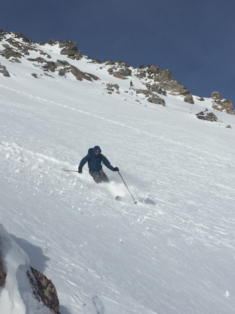
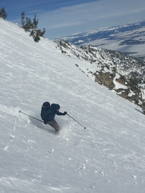
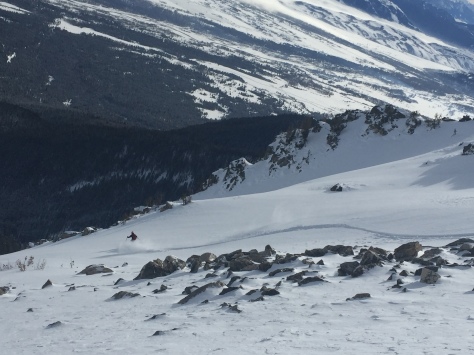
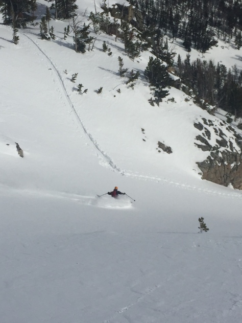
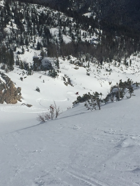
After quickly gearing up, we decided on a plan of attack for the upper portion of the run and gave it a go. The top 400′ was wind affected and a bit grabby. It was a little slow going, but still fun snow. Once off the upper bowl, the snow became consolidated and very fun. Some people call it “cream cheese snow” and whatever your name is for it, the snow was fun! We skied down in a few pushes, not wanting to waste the big open run with numerous stops. The snow near the bottom was a little isothermal in spots, but it was still fun and we made it down to the canyon floor in no time.






After making it down to the bottom, we worked our way down canyon until we caught the track back to Olive Oil. It was a very easy out and we were soon skating back to the truck on Moose-Wilson Rd. We made it to the trailhead in 6hrs 30min, pleased with the day and conditions. Once again–another fun day in GTNP schussing around.
Keep on Adventuring!
