
Location: GTNP, Garnet Canyon, South Teton, Amor a Vida Couloir
Elevation: Gain/Loss: 12,514’, 6,360’ gain/loss
Distance: 15 miles RT
Difficulty: 4 stars
Time: 7-9 hours
Trip Report:
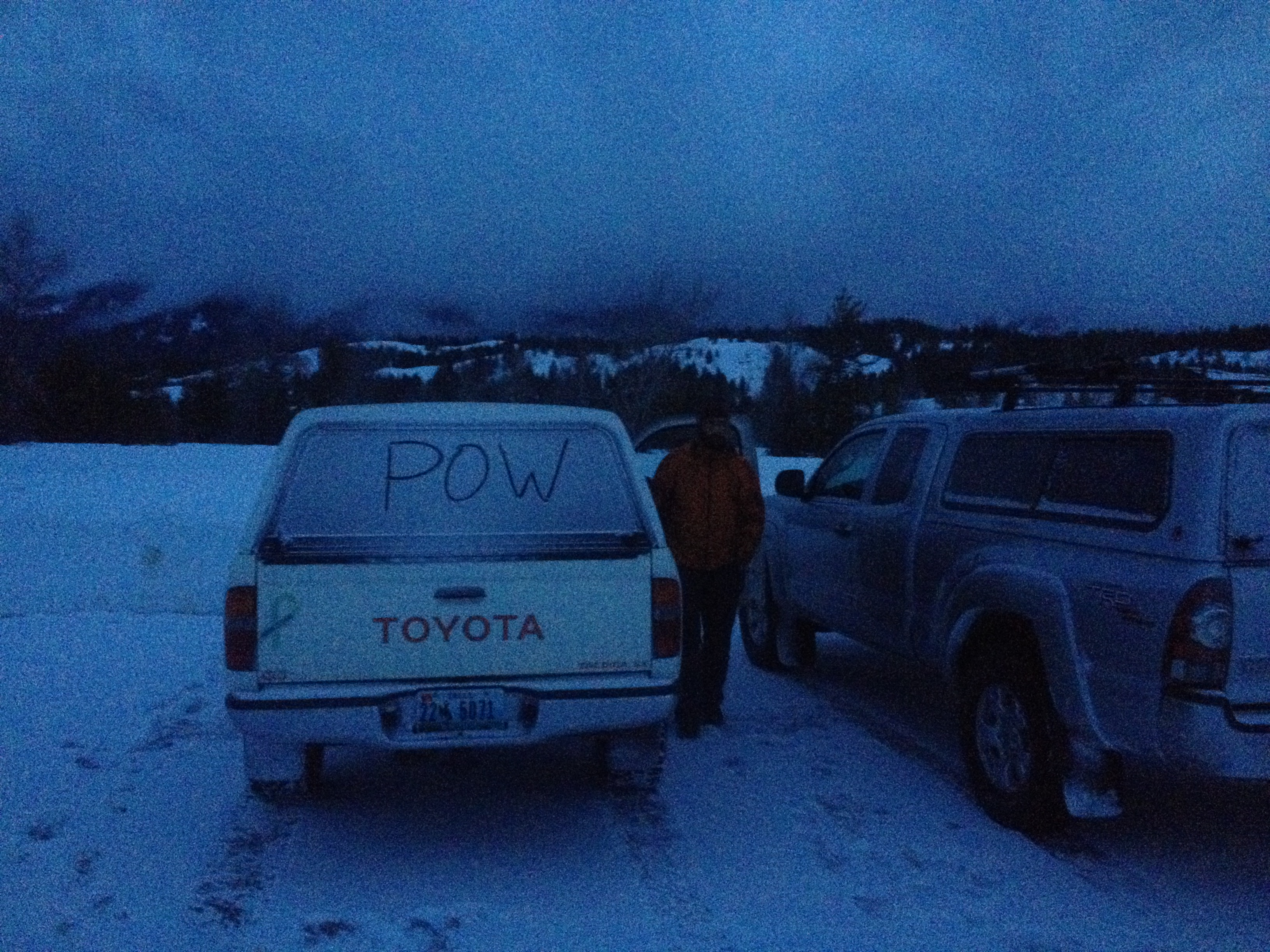
Date: 02/23/2015
Snow Conditions: Powder, sun crust, warm/dense snow, wind crust
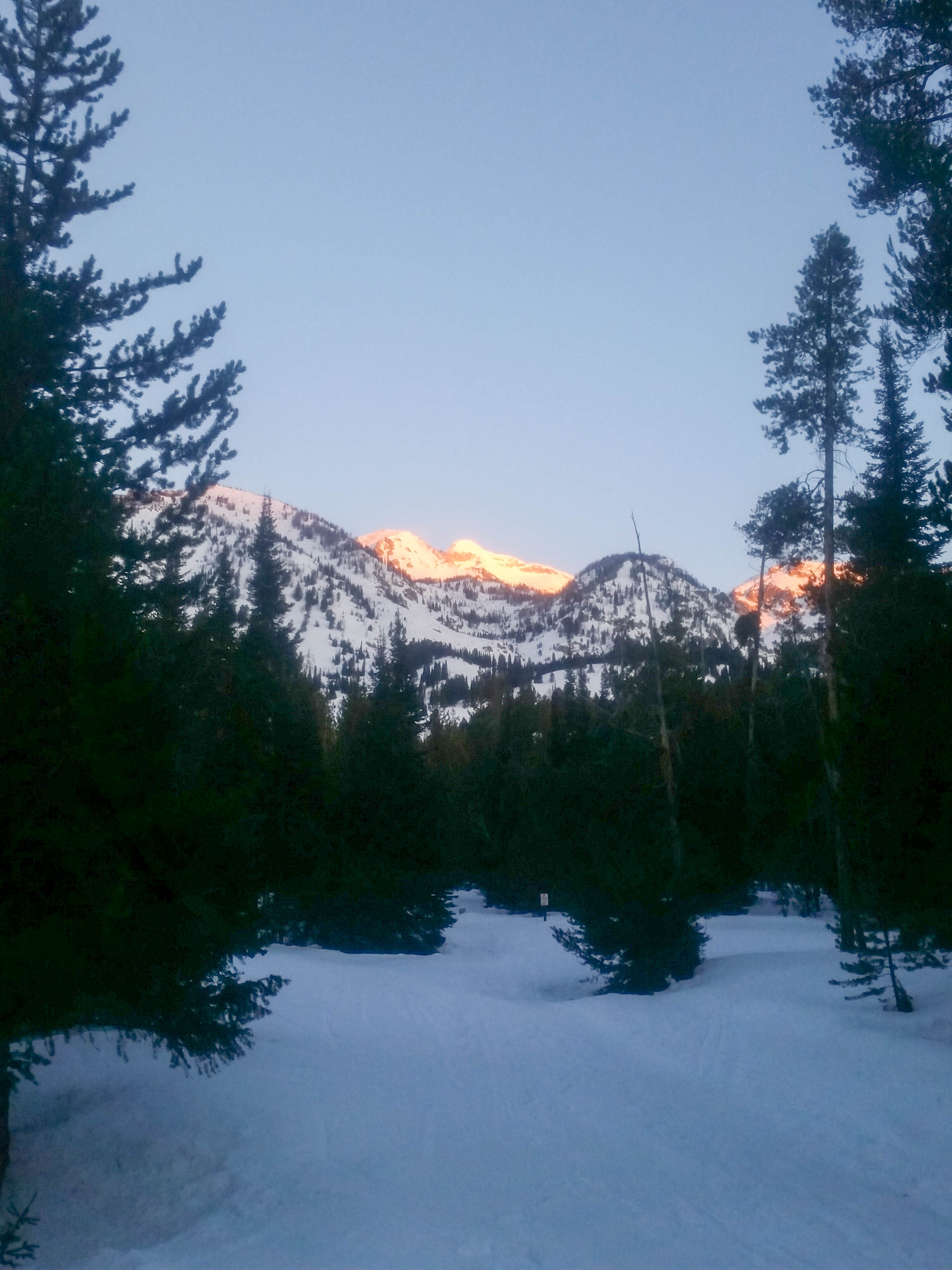
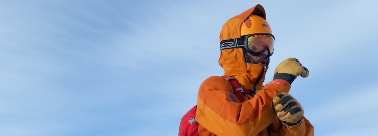
With a small storming dropping a few inches on us recently and a weather window opening, Dane and I decided to tackle a larger line off the South Teton. Amor a Vida, meaning Love Life in Spanish, is a beautiful couloir off of the South Teton. I had booted up it a few years back, but with warming temperatures that day, did not connect the South Face of the South Teton to the couloir. Dane and I got an early start, leaving Bradley-Taggart around 6:20am and made quick work of the skin into the Meadows.

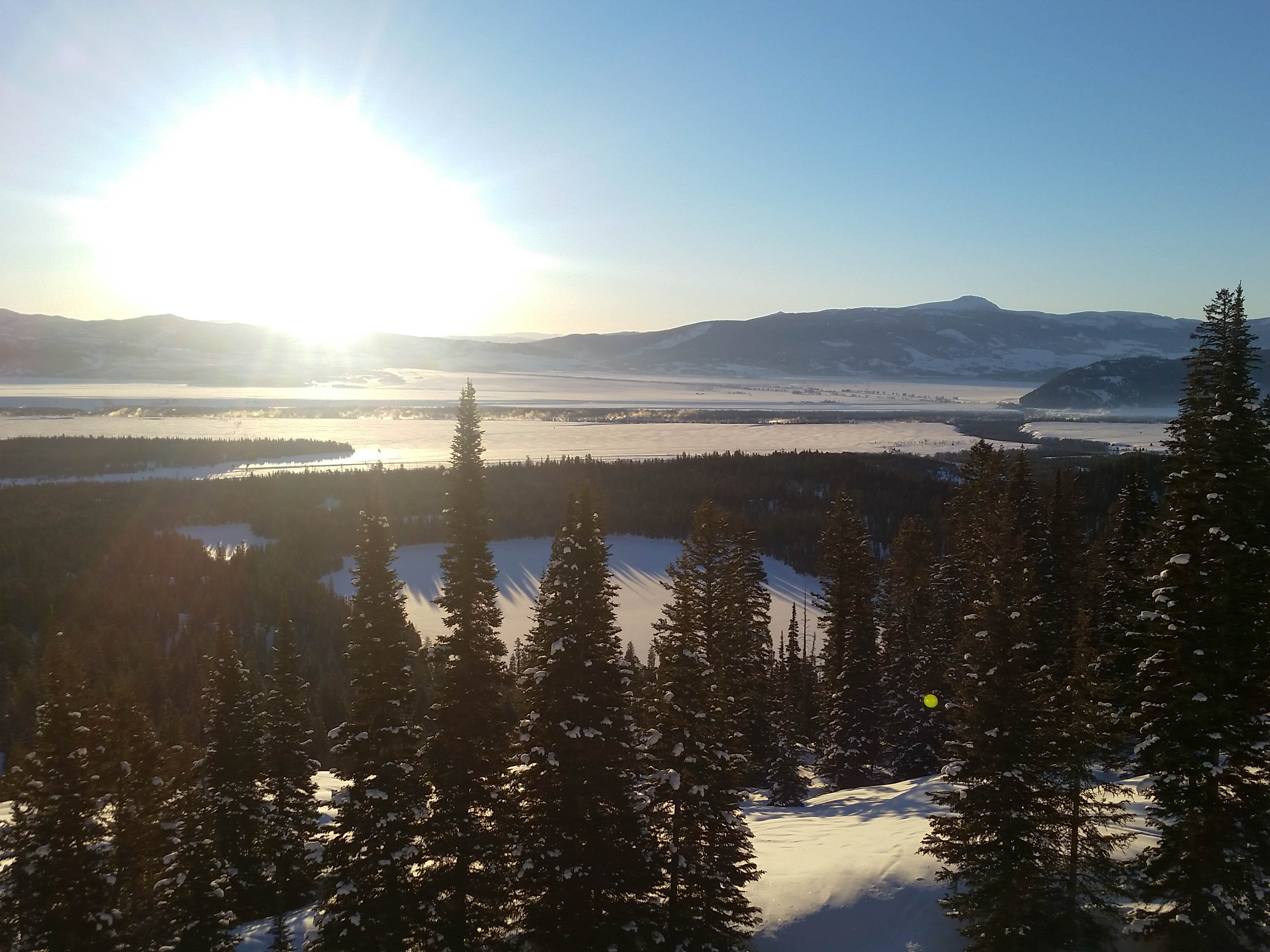
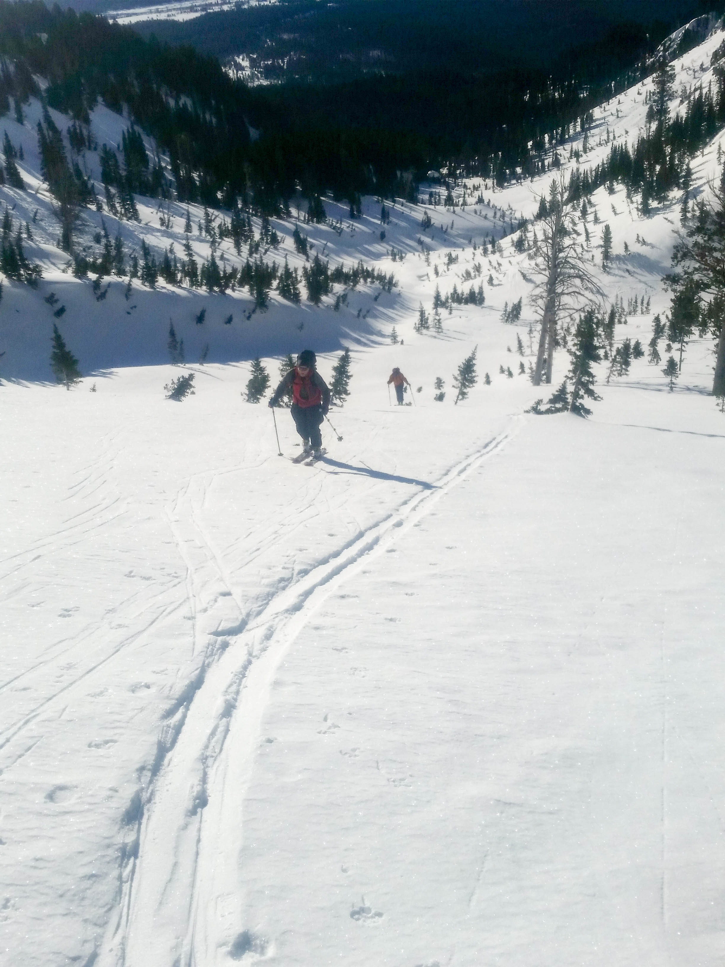
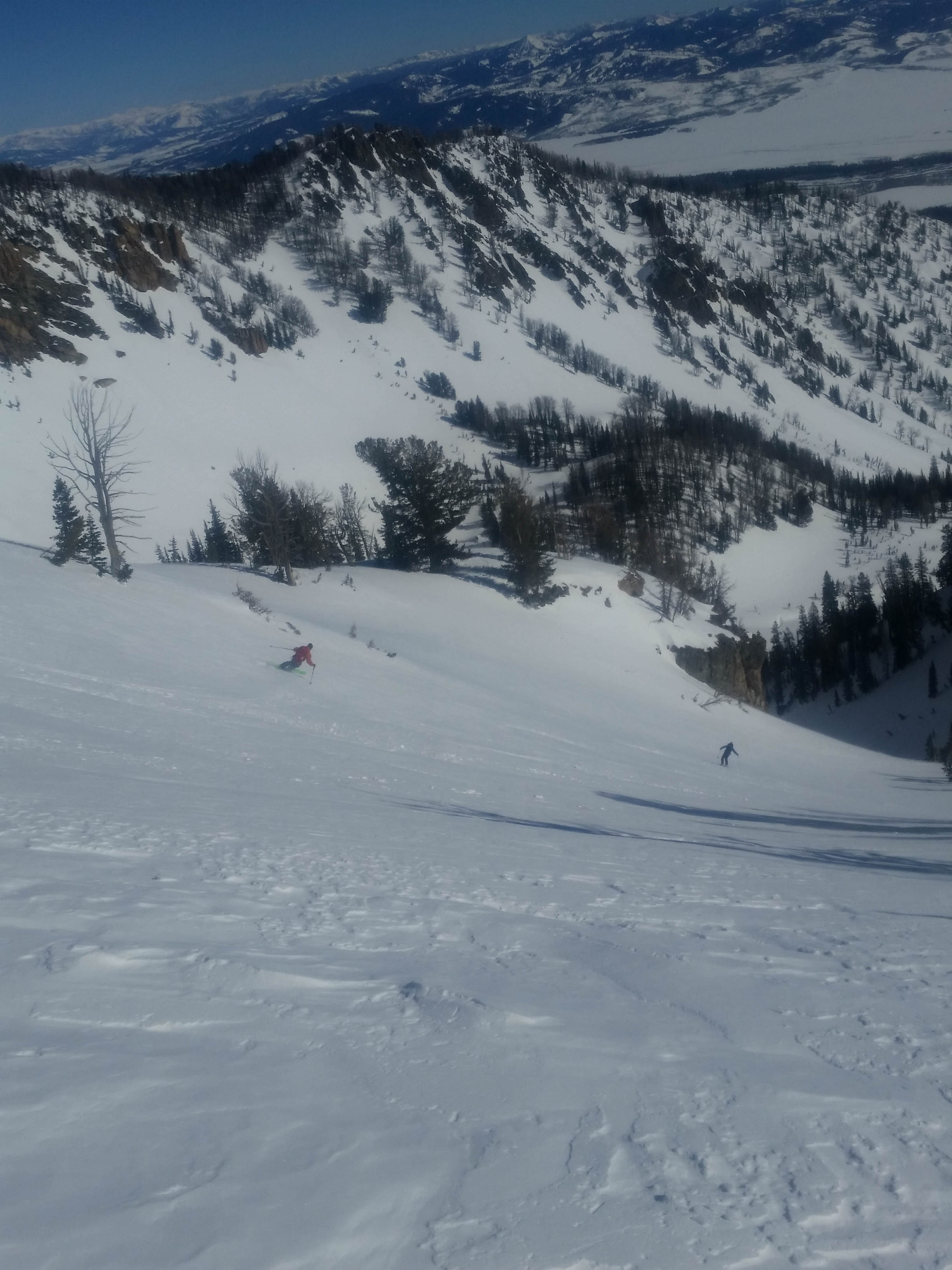
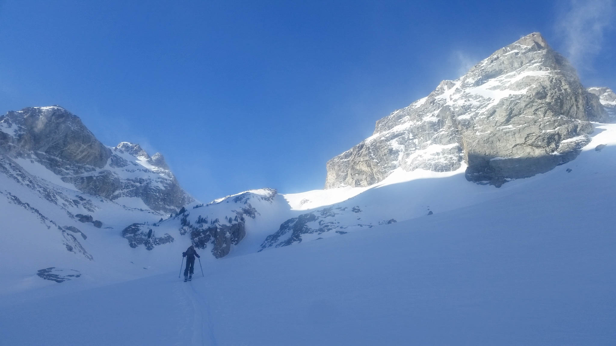
We worked our way up to the left and into the South Fork of Garnet Canyon, very surprised that the track was in great shape and the wind was calm. As we came up below the Ellingwood and Chouinard Couloirs, we noticed a few guys slowly making progress up the Ellingwood. The snow looked deep, so we were hopeful that pour couloir was holding some similar snow.
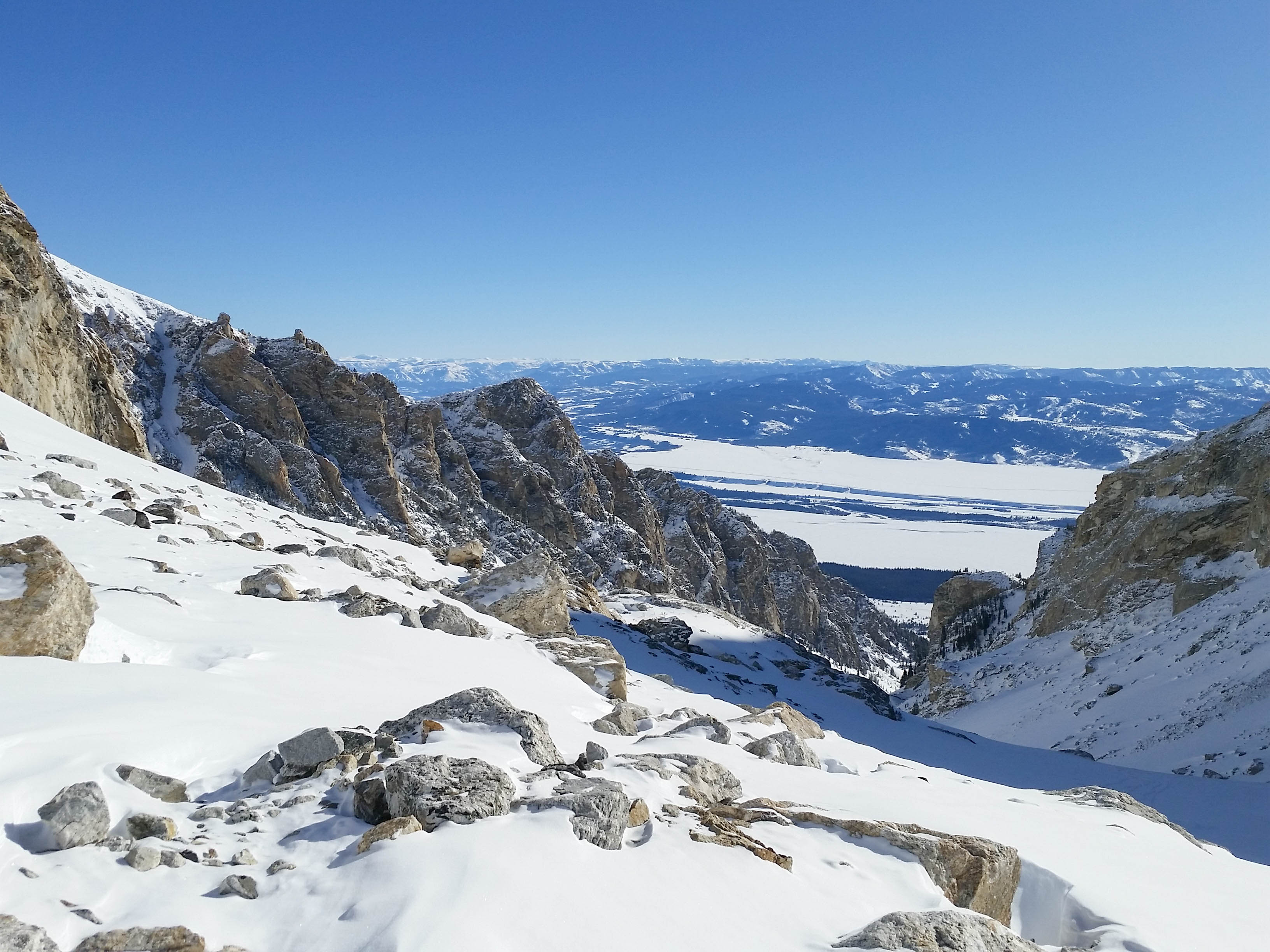
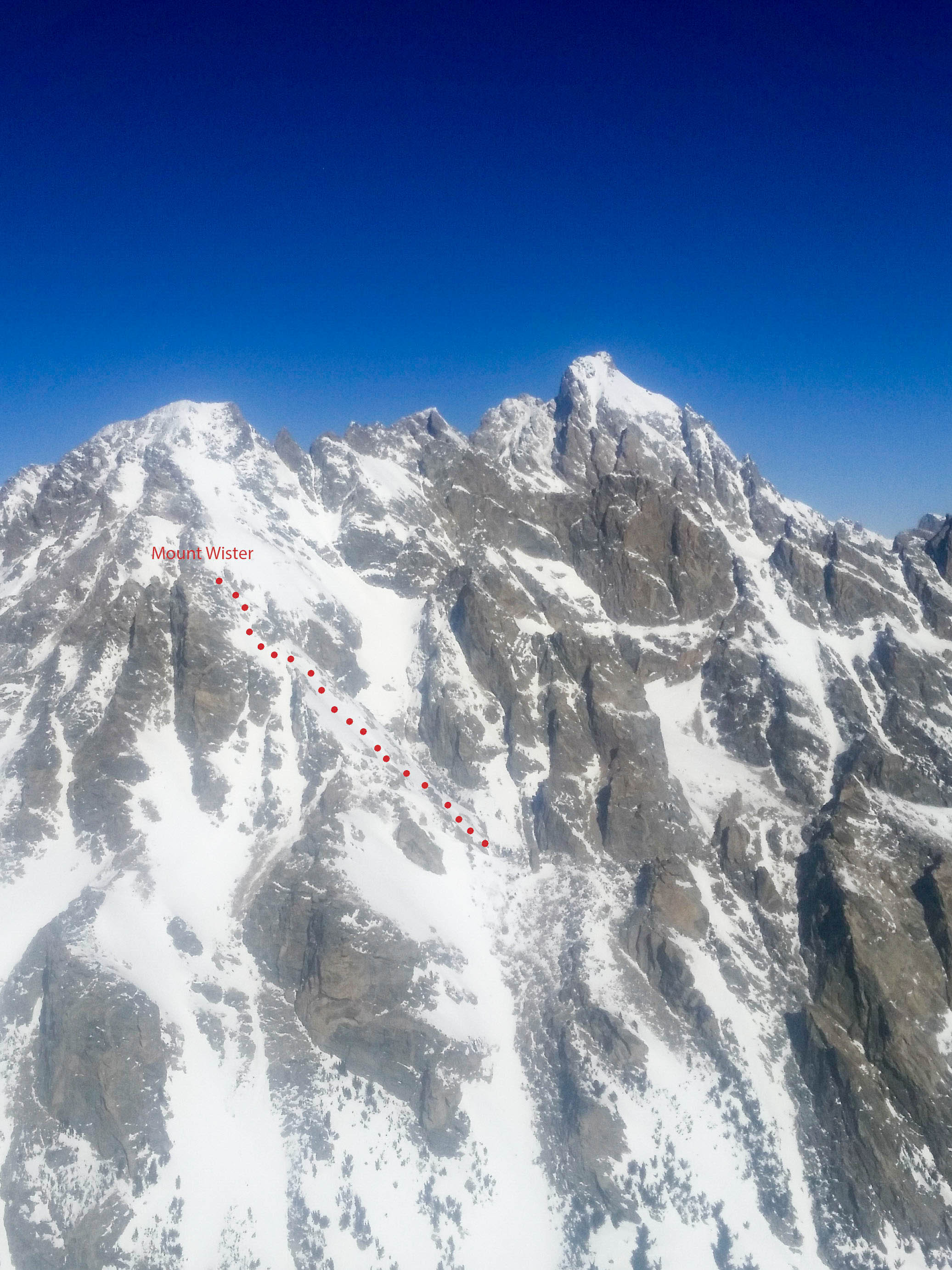
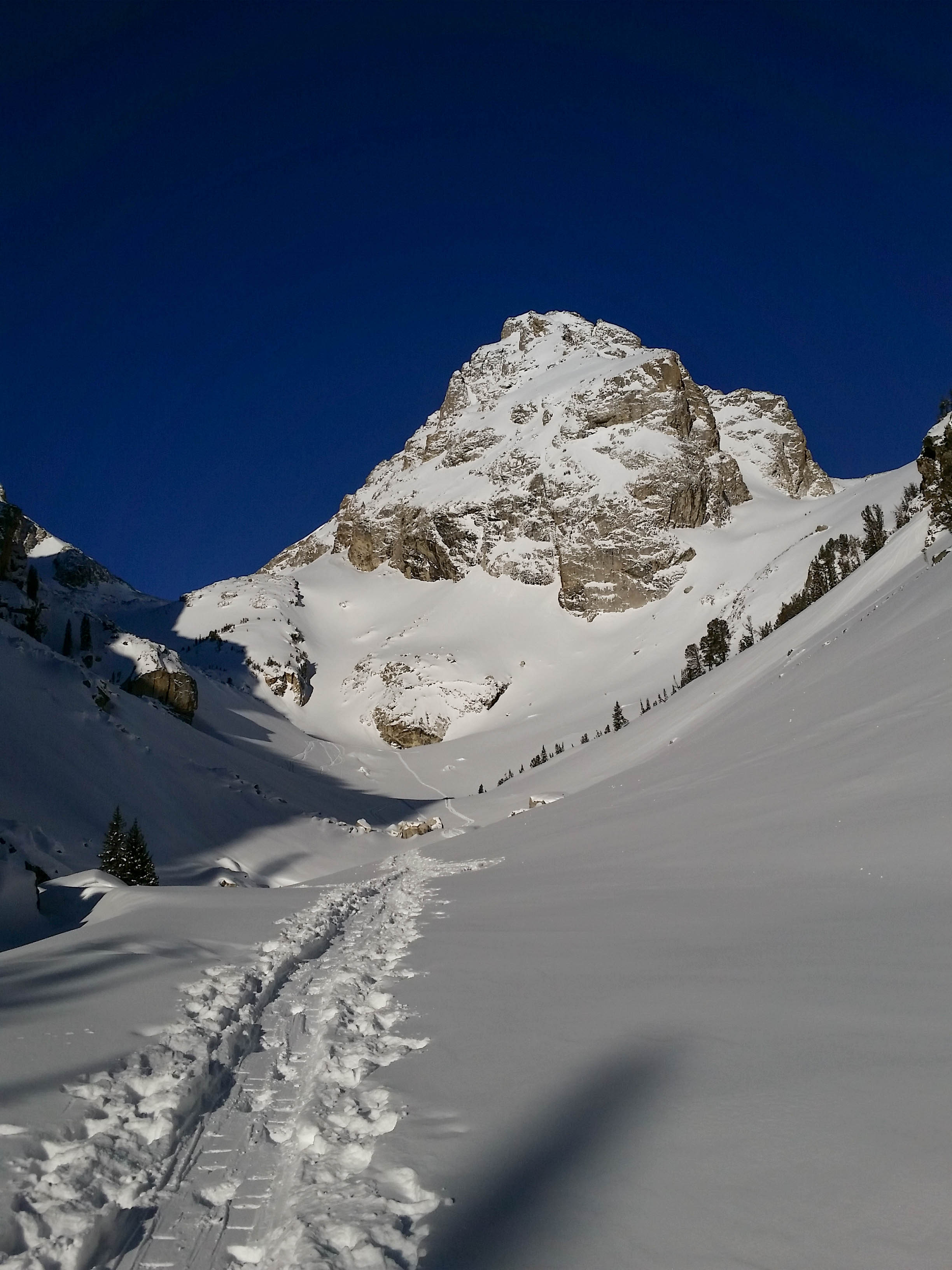
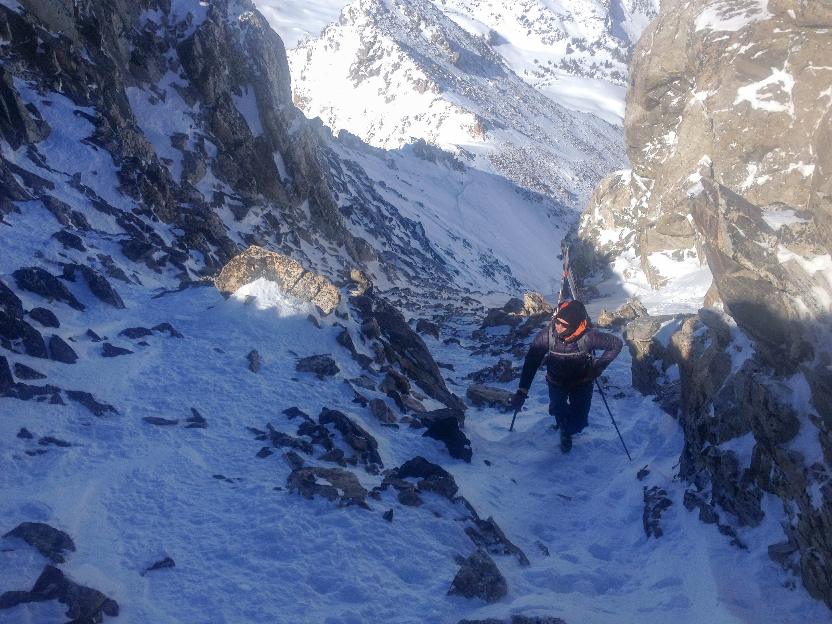
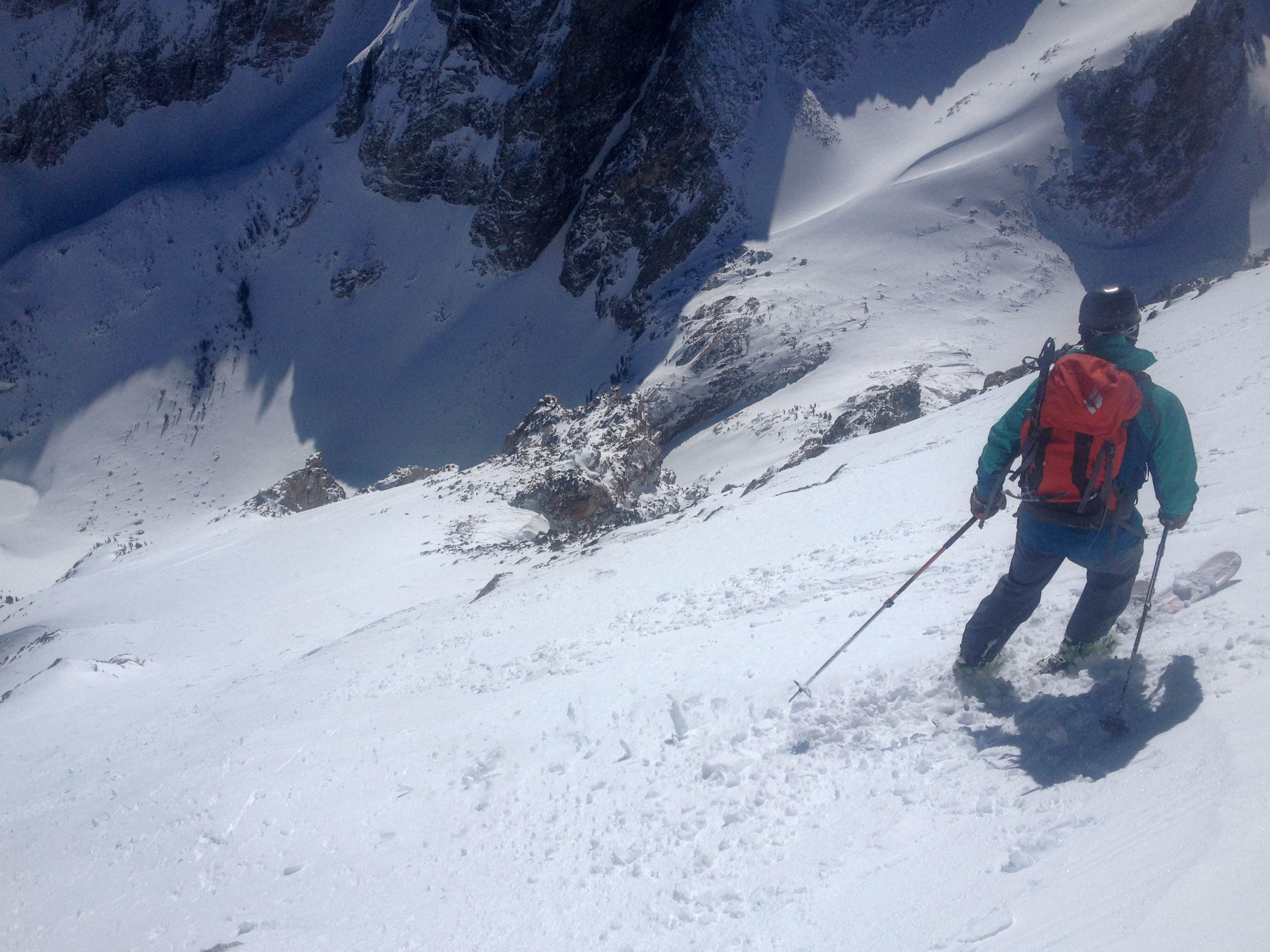
We proceeded up canyon, making our way through the mine field of rocks that litter the South Fork. There is enough coverage to skin through this section, which is great, but you have to be careful with each step. We found ourselves below the North Face of the South Teton, with a ramp of snow leading us towards the ridge and the Northwest Couloir.

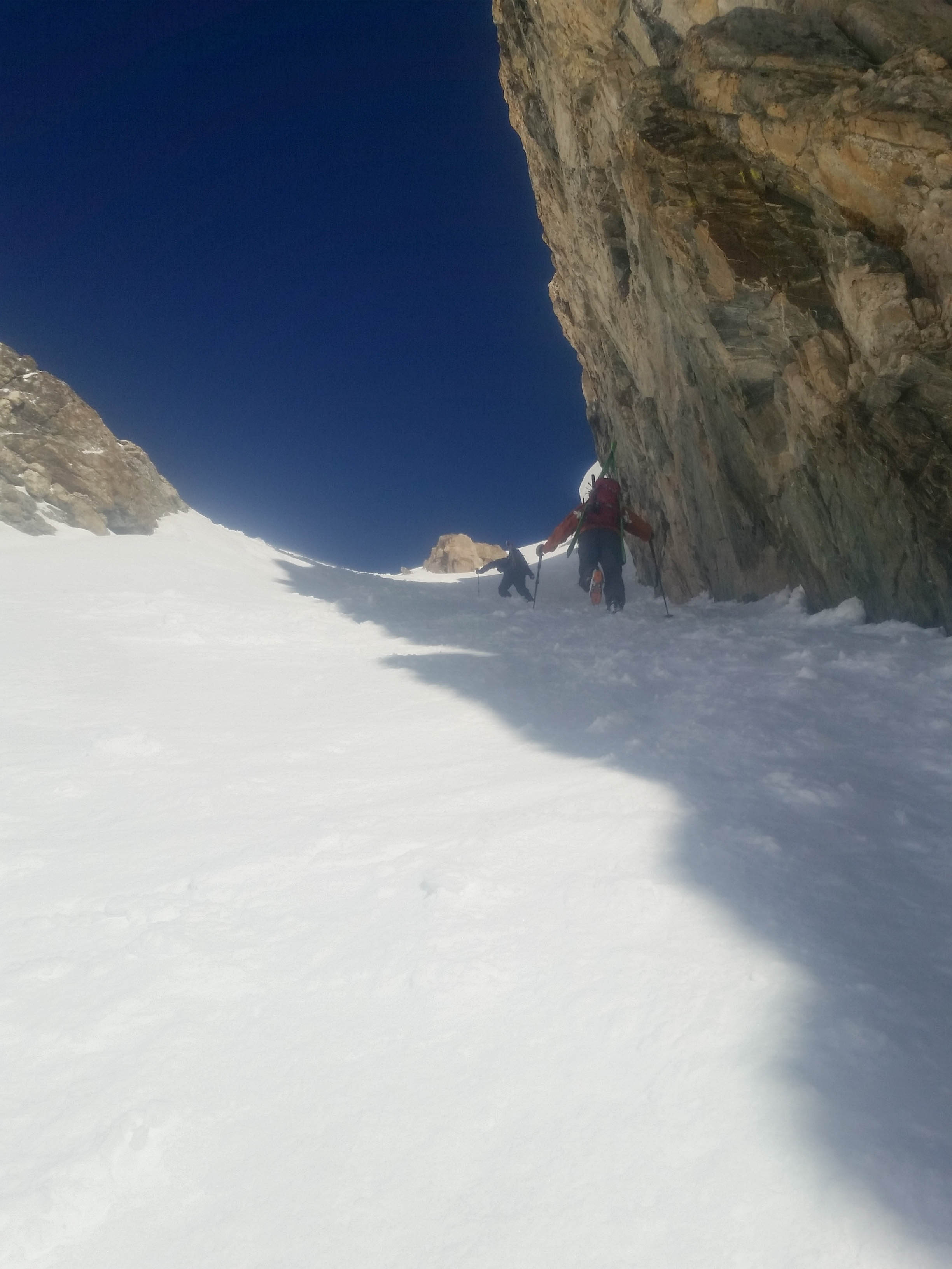
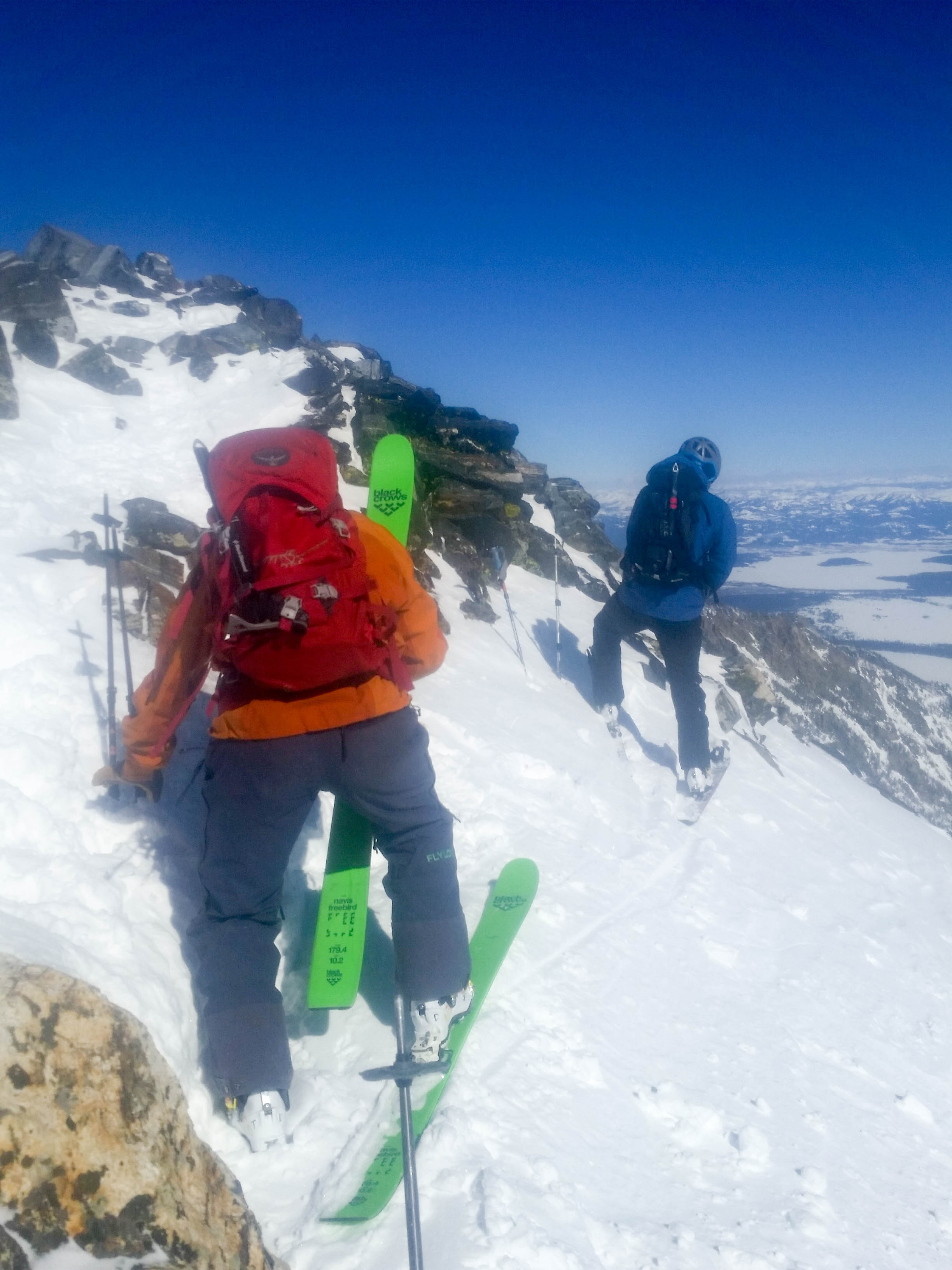
Just below the ridge, we switched over to bootpack mode and quickly gained the ridge and made our way into the Northwest Couloir. The snow was pretty consolidated, which made for a relatively easy climb up.

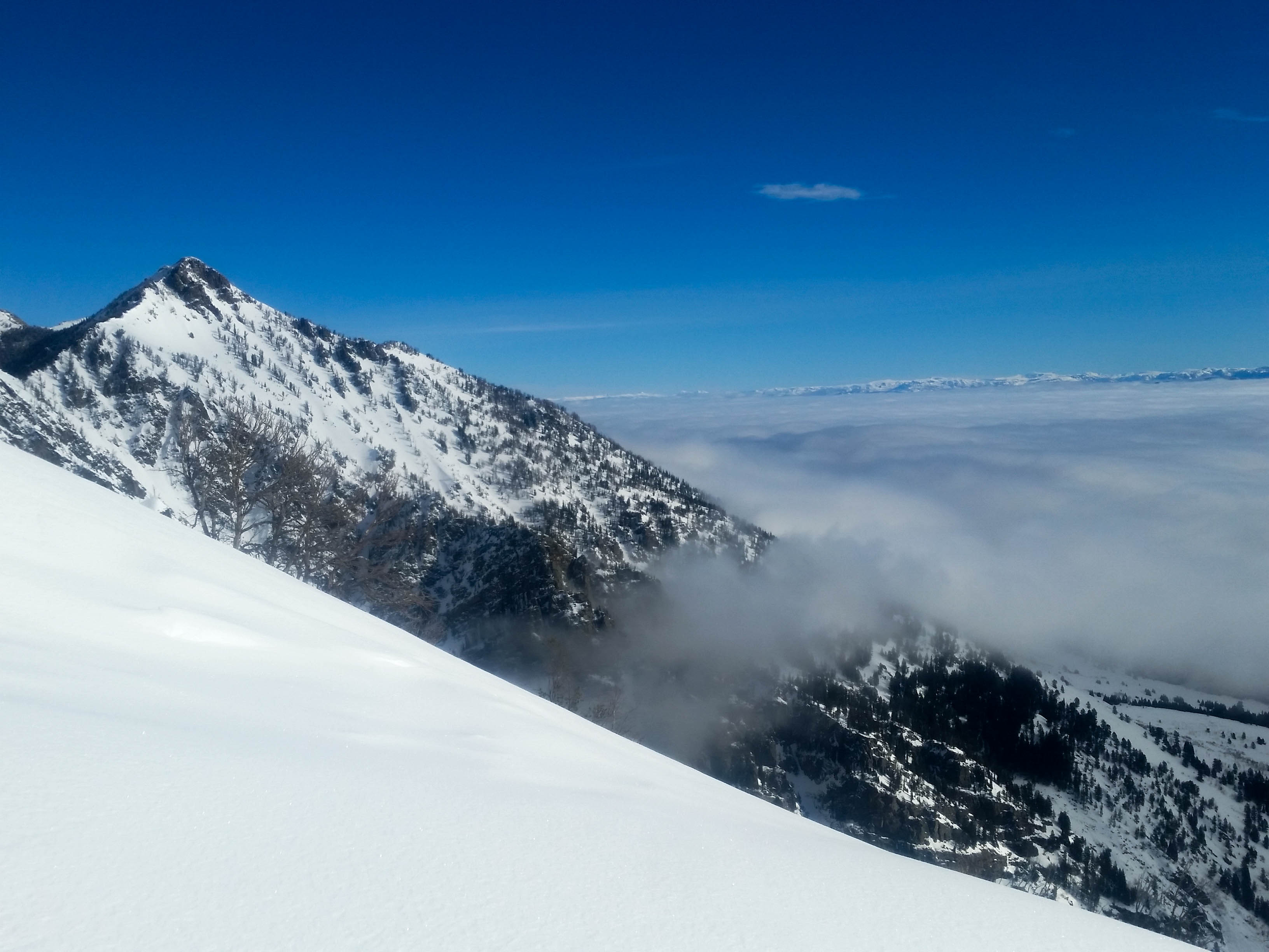
Once out of the couloir, we were greeted with sunshine and a calm day in the high alpine. We still had about 100′ of climbing until we were at the summit, but were excited to be in the sun. We made our way through some deep snow and over a few rocks, until we were standing on top of the South Teton. The weather was perfect and we both felt great about the climb and ski ahead.

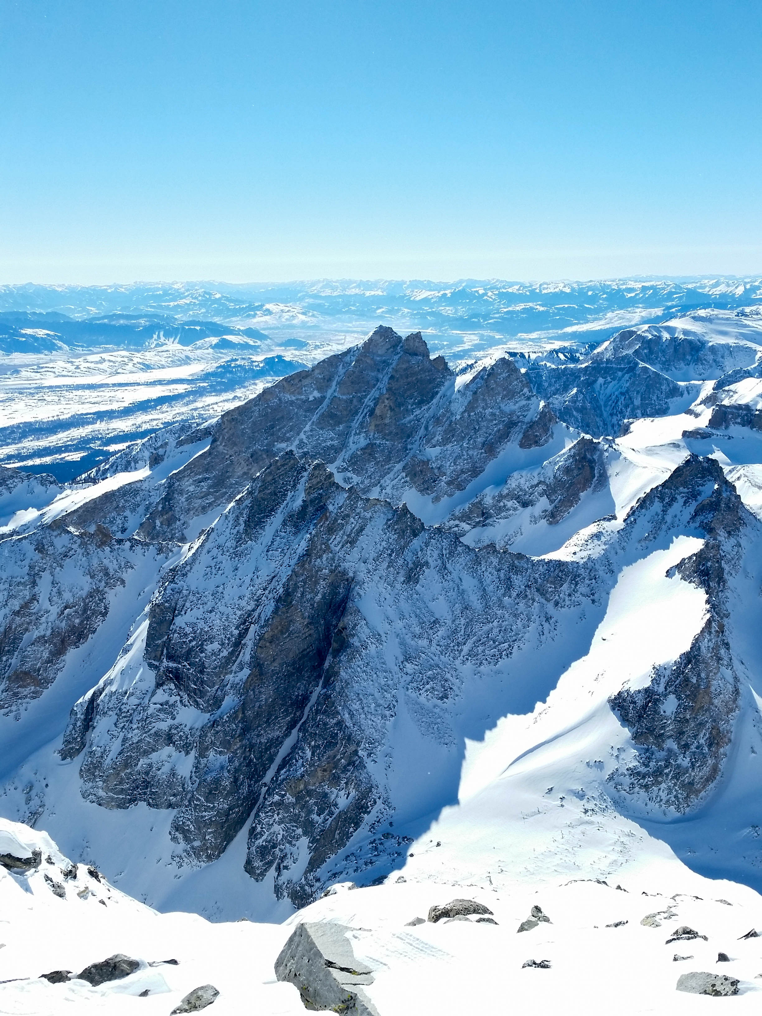

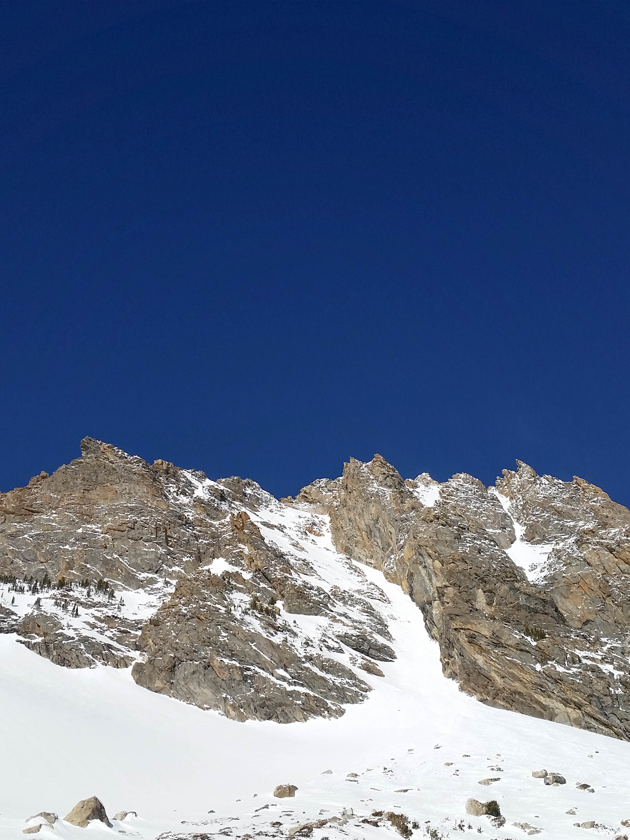
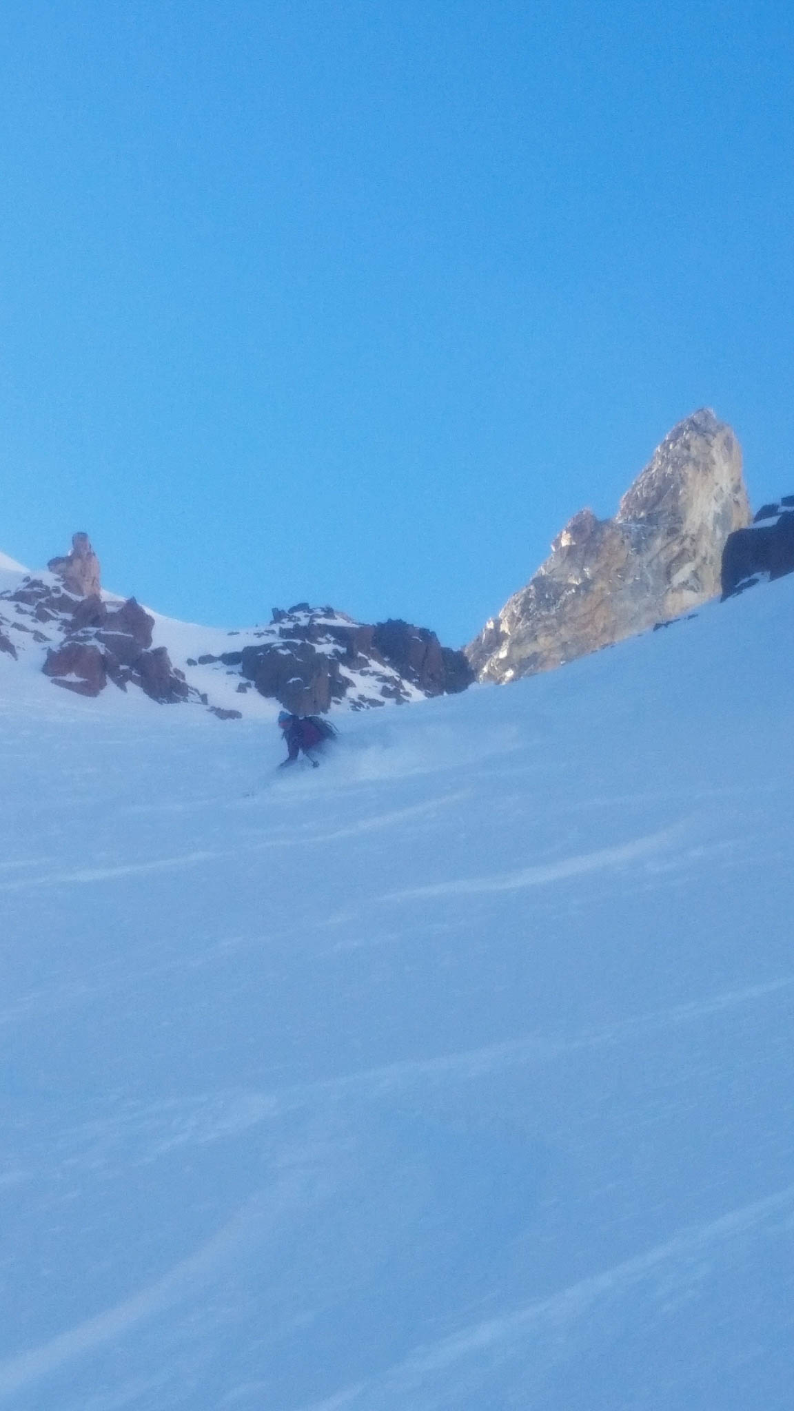
We geared up and discussed our options for getting to the South Face. Dane had skied the Southeast Couloir last year and thought that we could ski the snowfield directly left of the summit down and then cut hard right to get onto the South Face. We skied two turns down the snowfield to get a look and determined that the coverage was a little low for that entry onto the South Face. We made our way back up to the summit and to the right of a rock bulge separating the snowfield and a scree field that lead to the South Face. After making our way through the snow covered scree, we got a good look at the South Face and the lower entry to the Southeast Couloir.

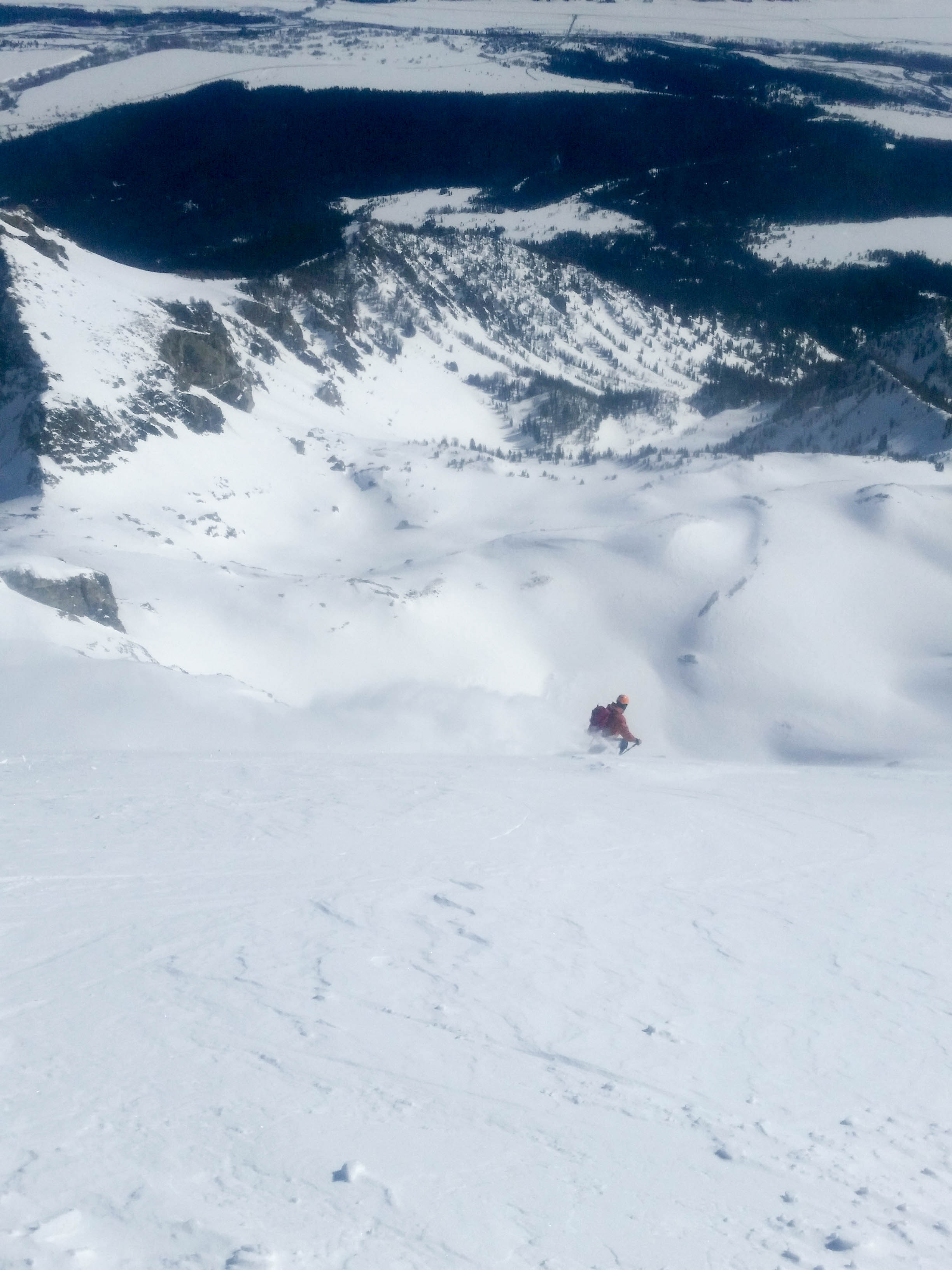
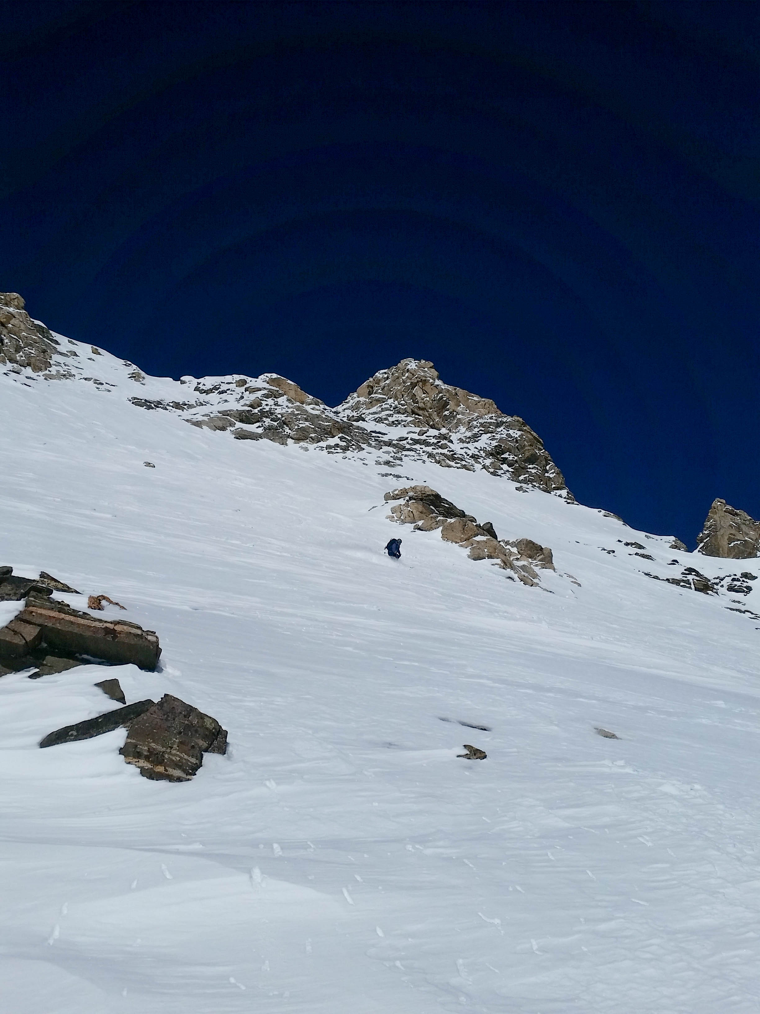
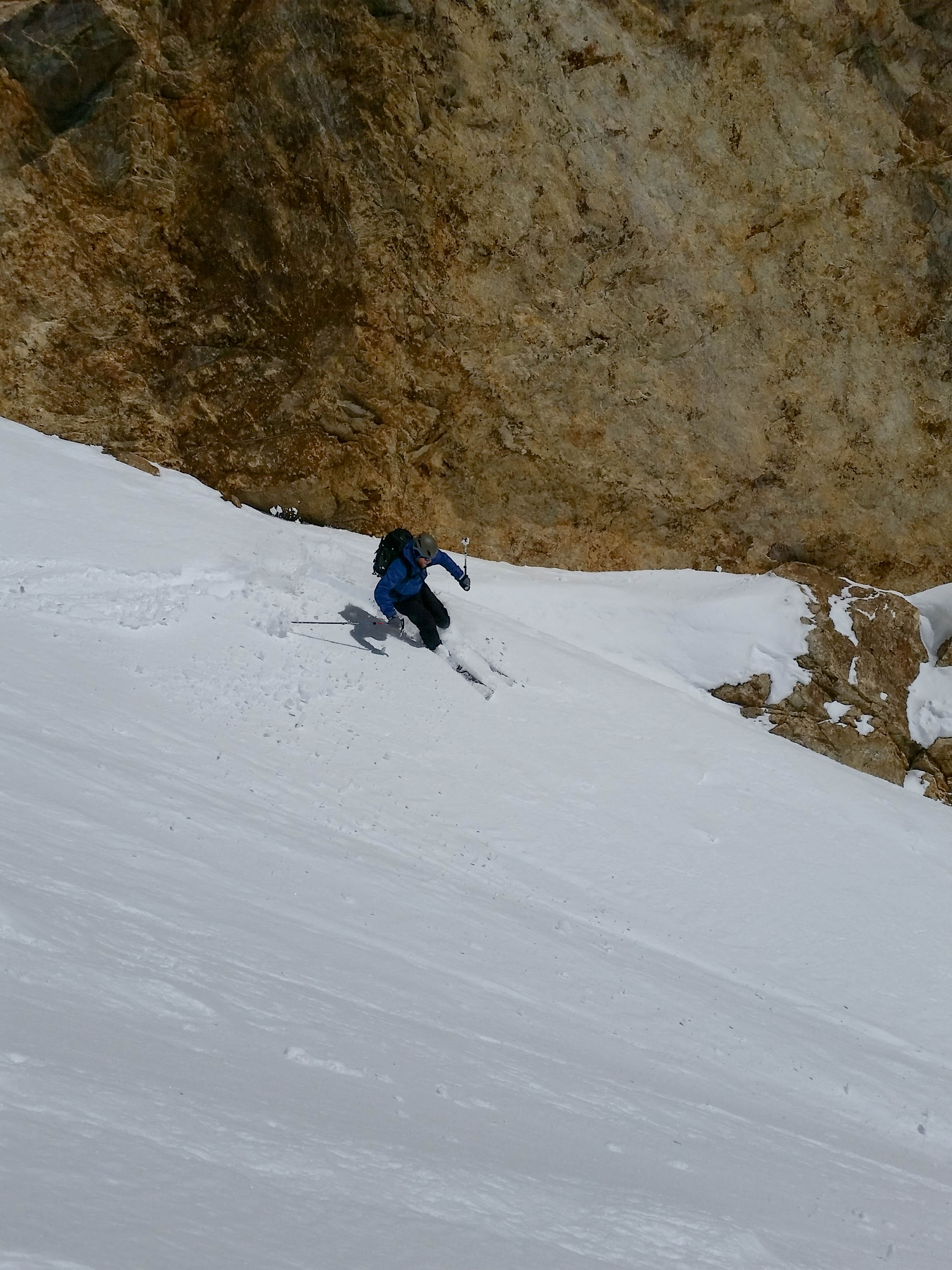
The South Face looked skiable, but we could tell that the snow was going to be varied; sun crust, wind crust, breakable crust, and powder. Dane skied onto the face and tested out the steep upper pitch with a quick ski cut, then made his way through some rock bands to a safe spot on the right.
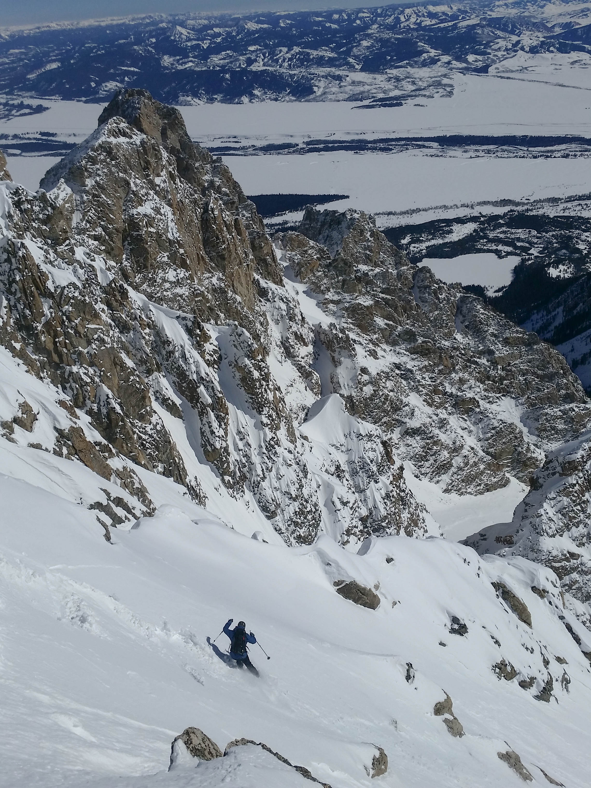


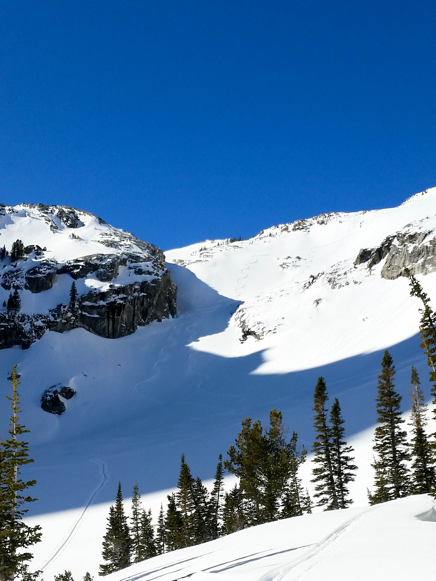
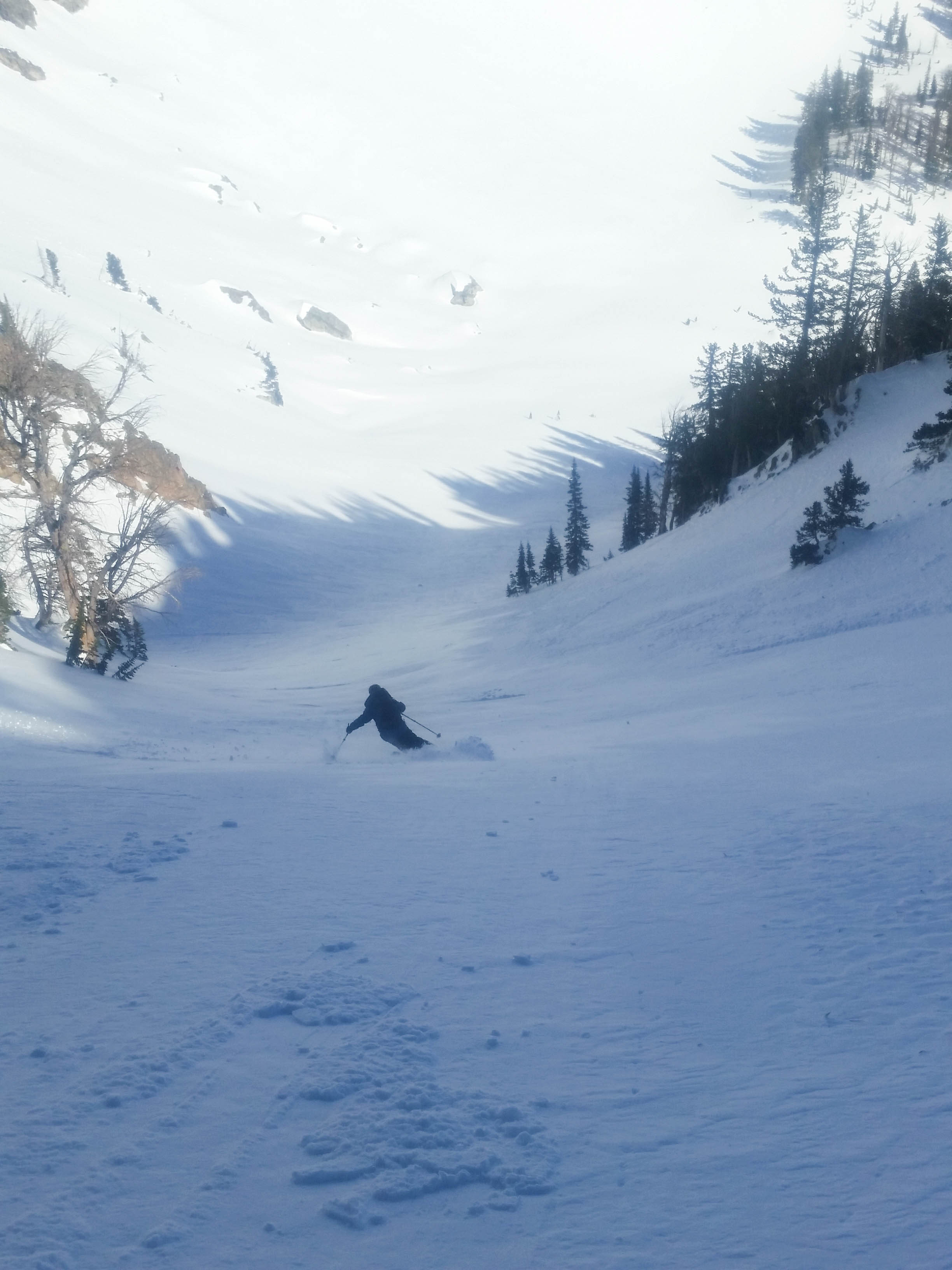
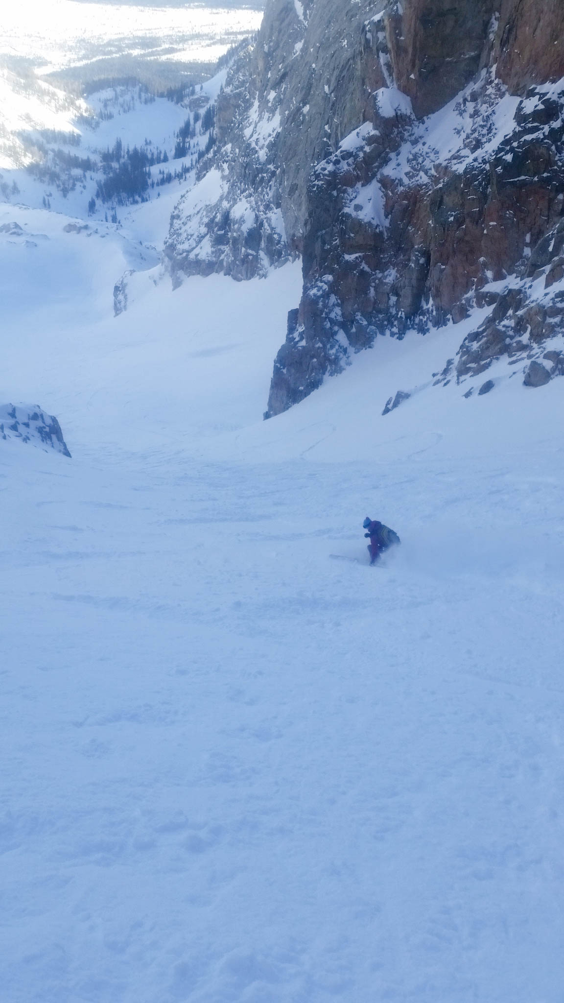
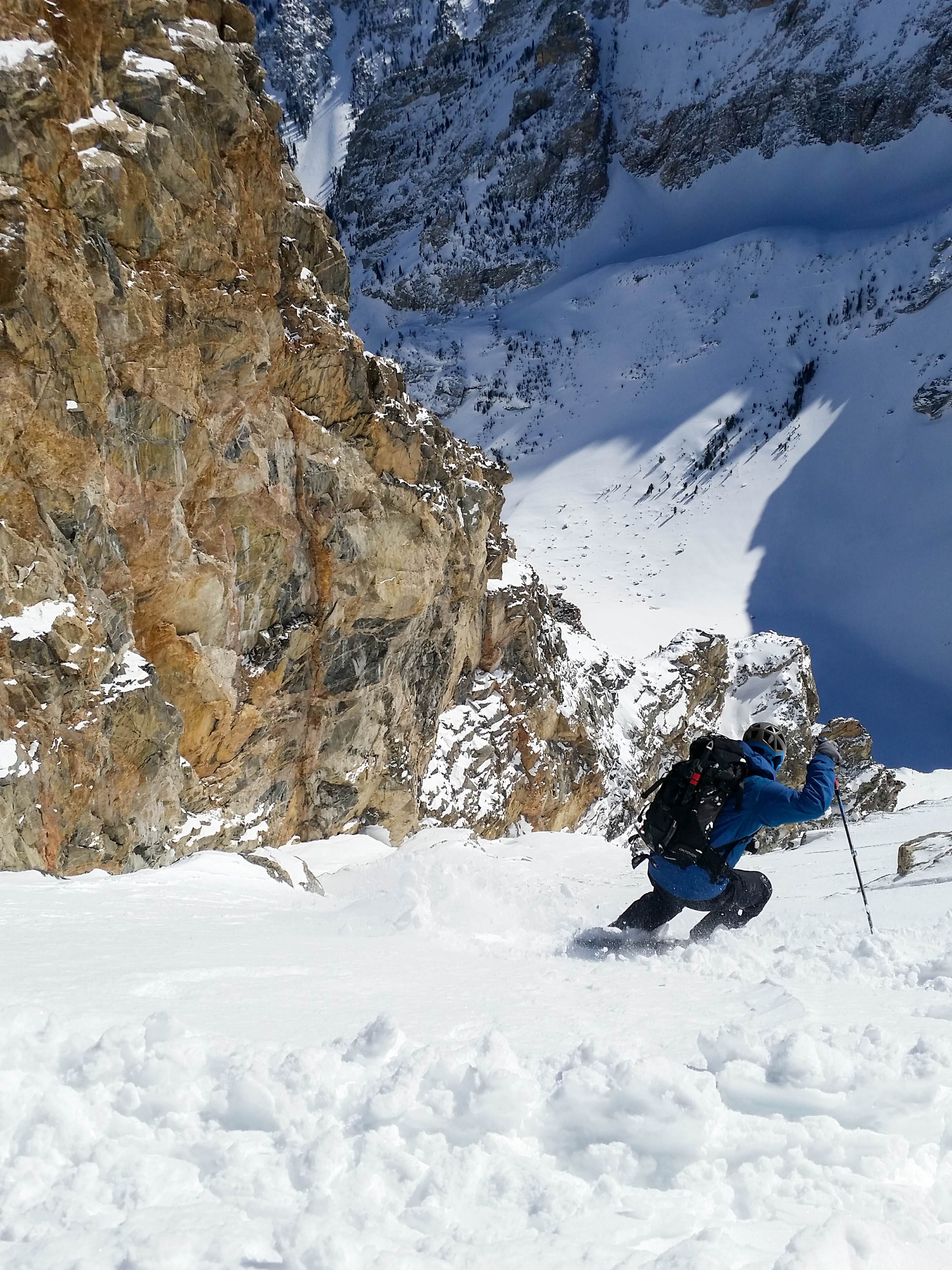
From here, we made some fun pow turns down the face and towards the entry to Amor a Vida. Even with the avalanche danger low, the exposure (1000′ cliff) below the South Face makes you focus on your every move.

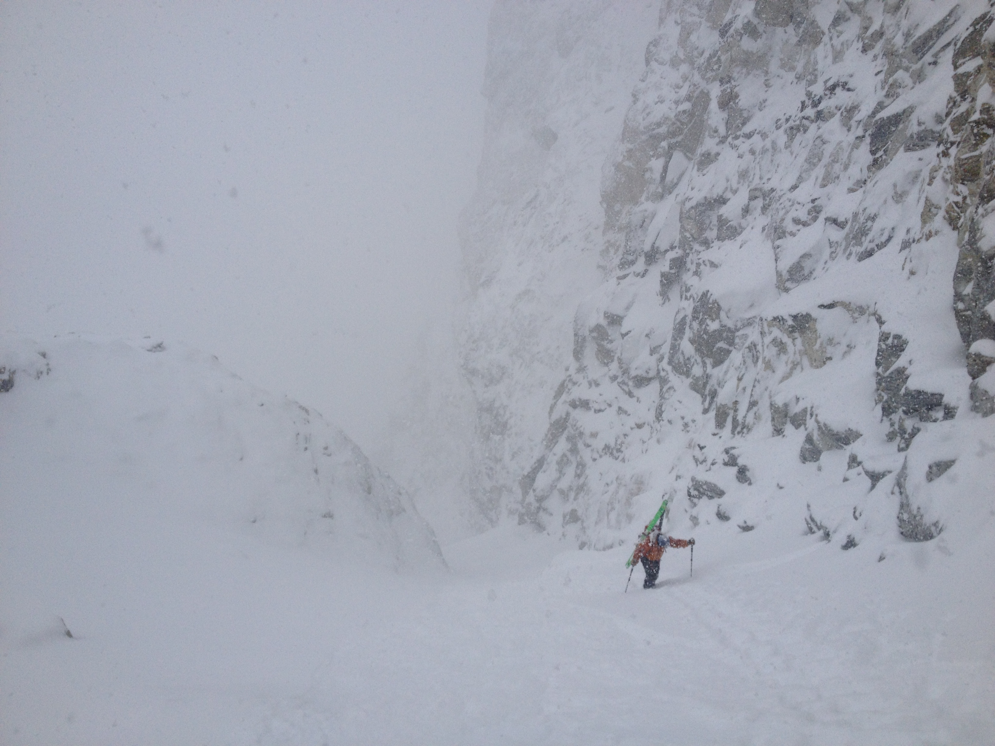
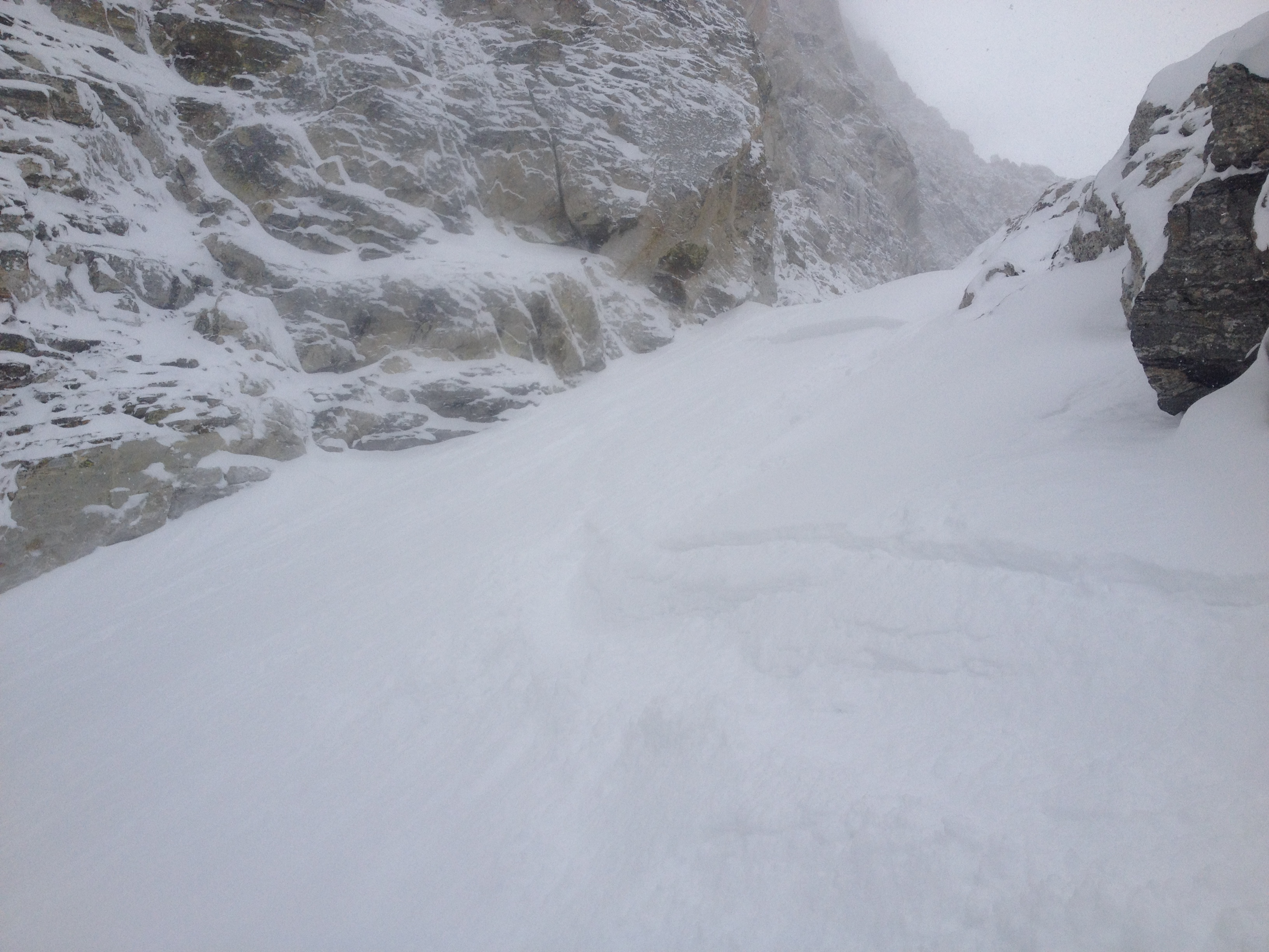
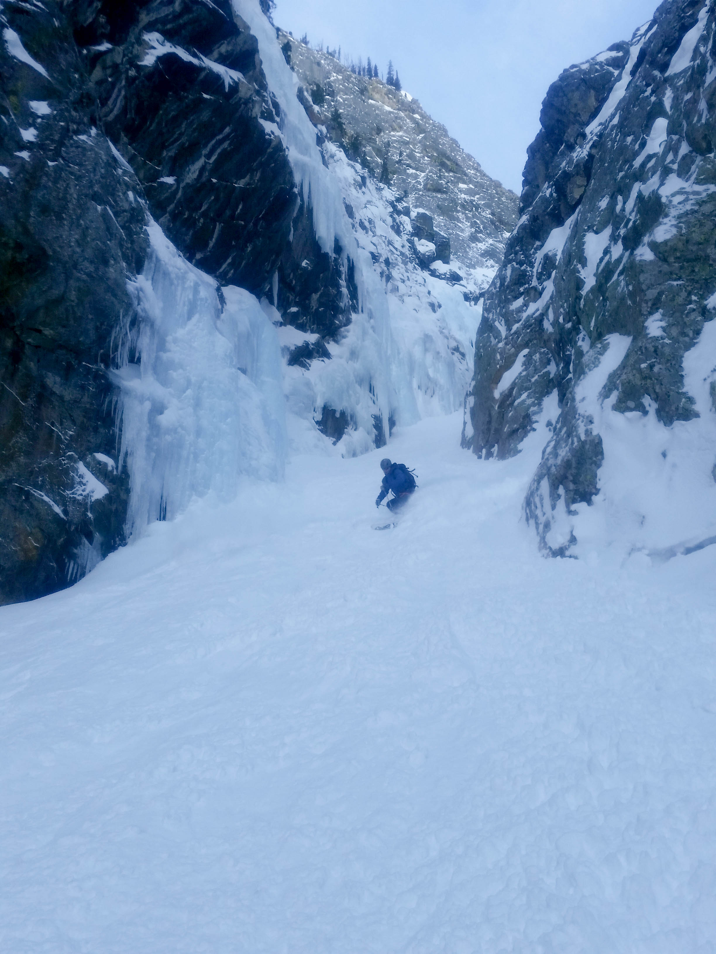
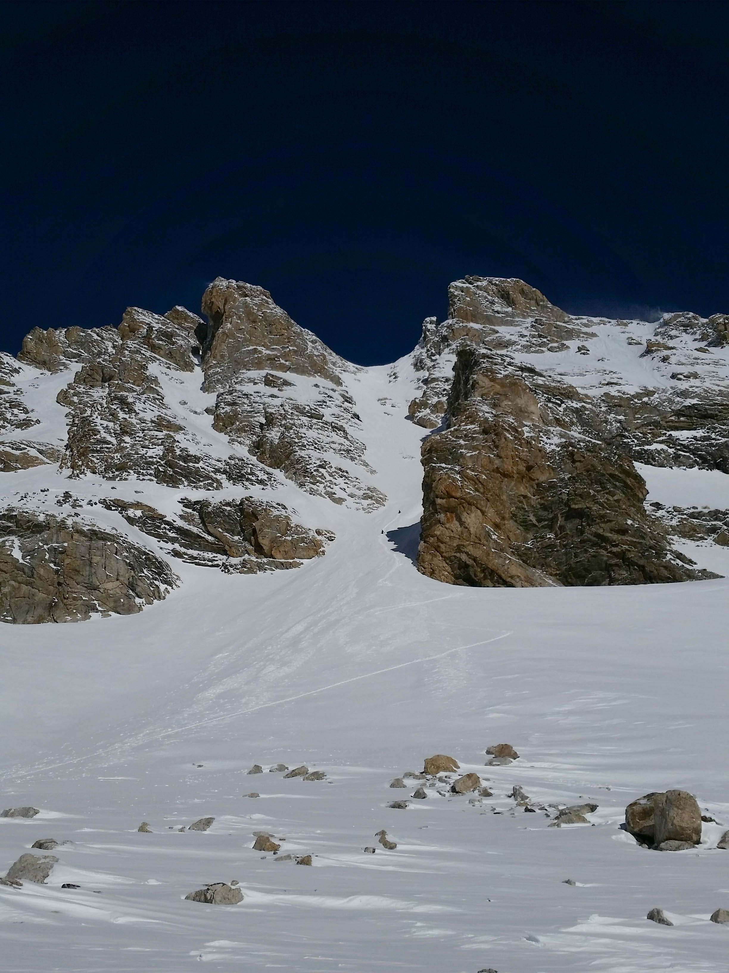
We got to the entry, but had to double check that it was in fact the Amor a Vida Couloir. After a quick check, we confirmed that we were in the right spot and worked our way down the rock filled entry.
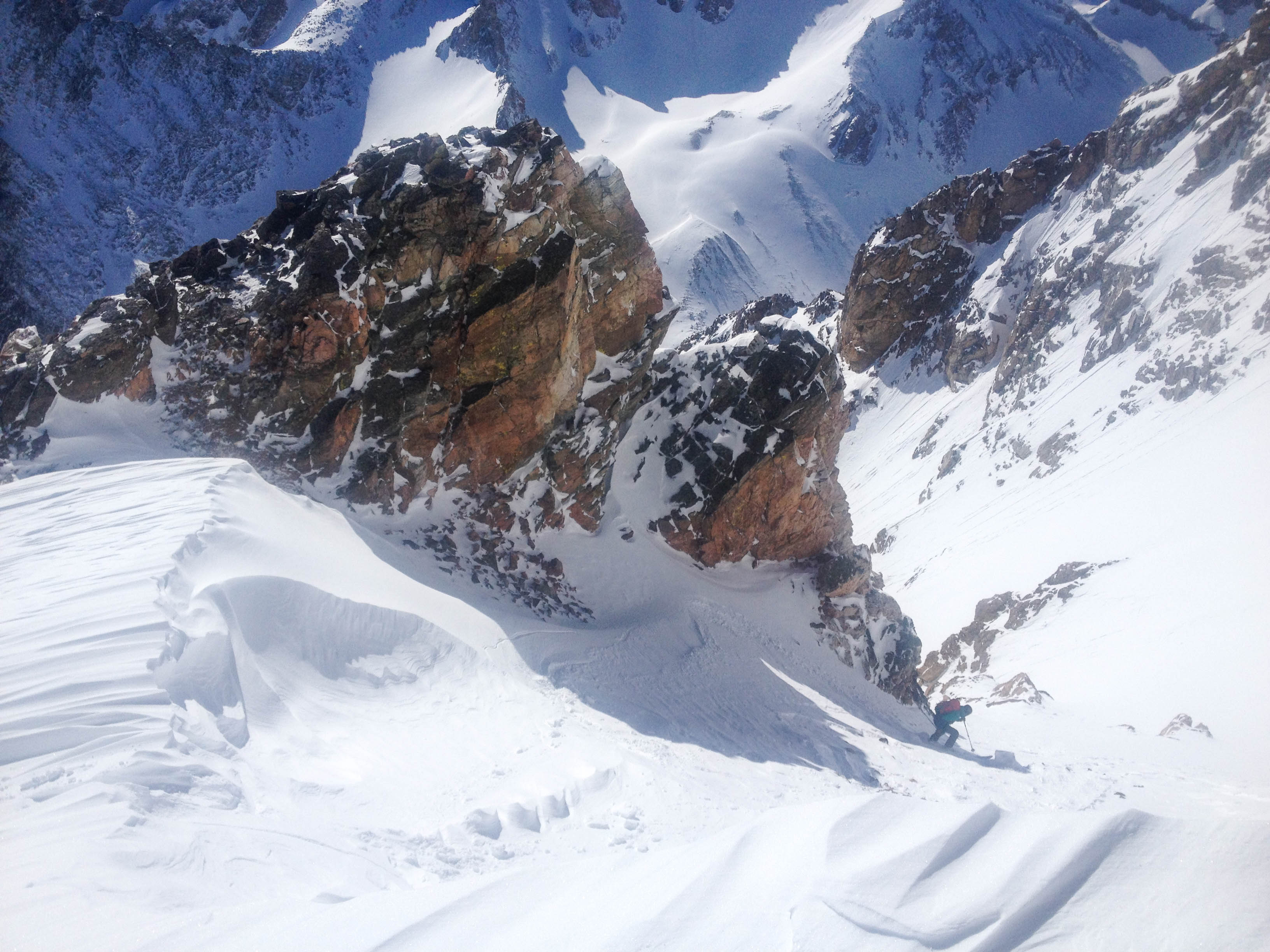
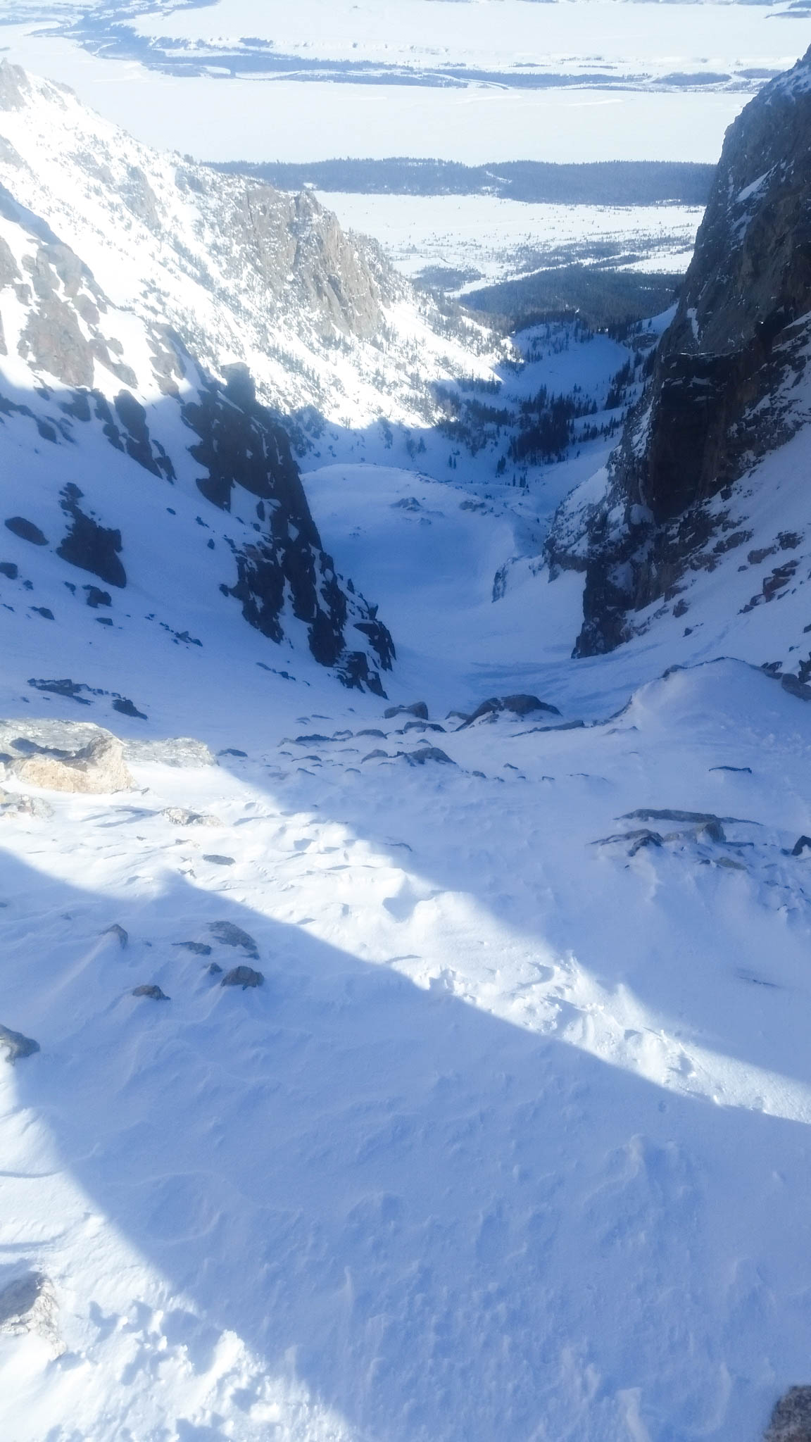
Once into the couloir, we tried to get a look at the tight upper section of the couloir proper (skiers left). It looked like it went, but was barely a ski length wide, so we opted to cross right over a few rock bands and approach the couloir from the snowfields. This exposed us to large hanging snowfields above, but we felt pretty good about the snow and quickly worked our way down through the rock bands.
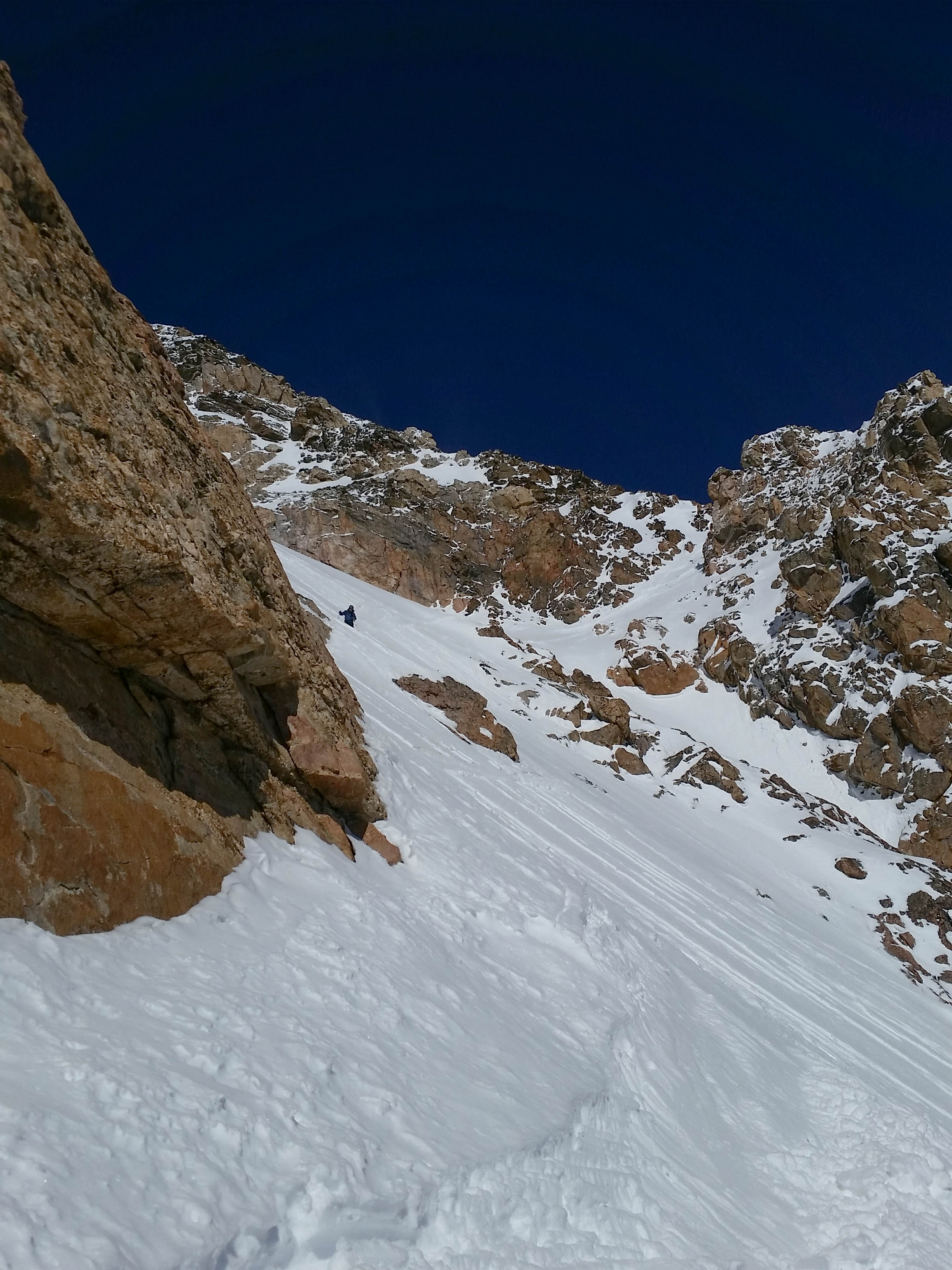
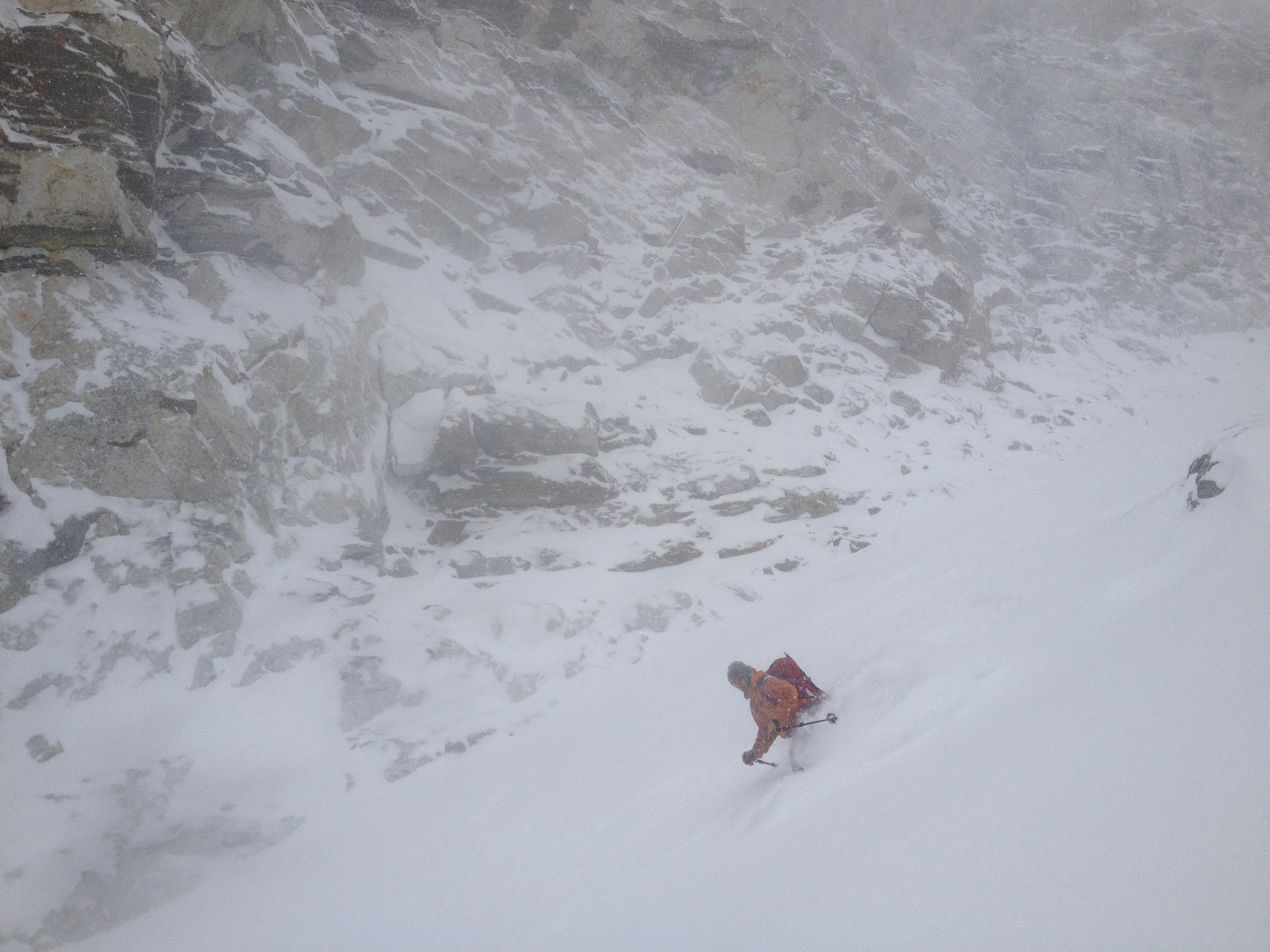
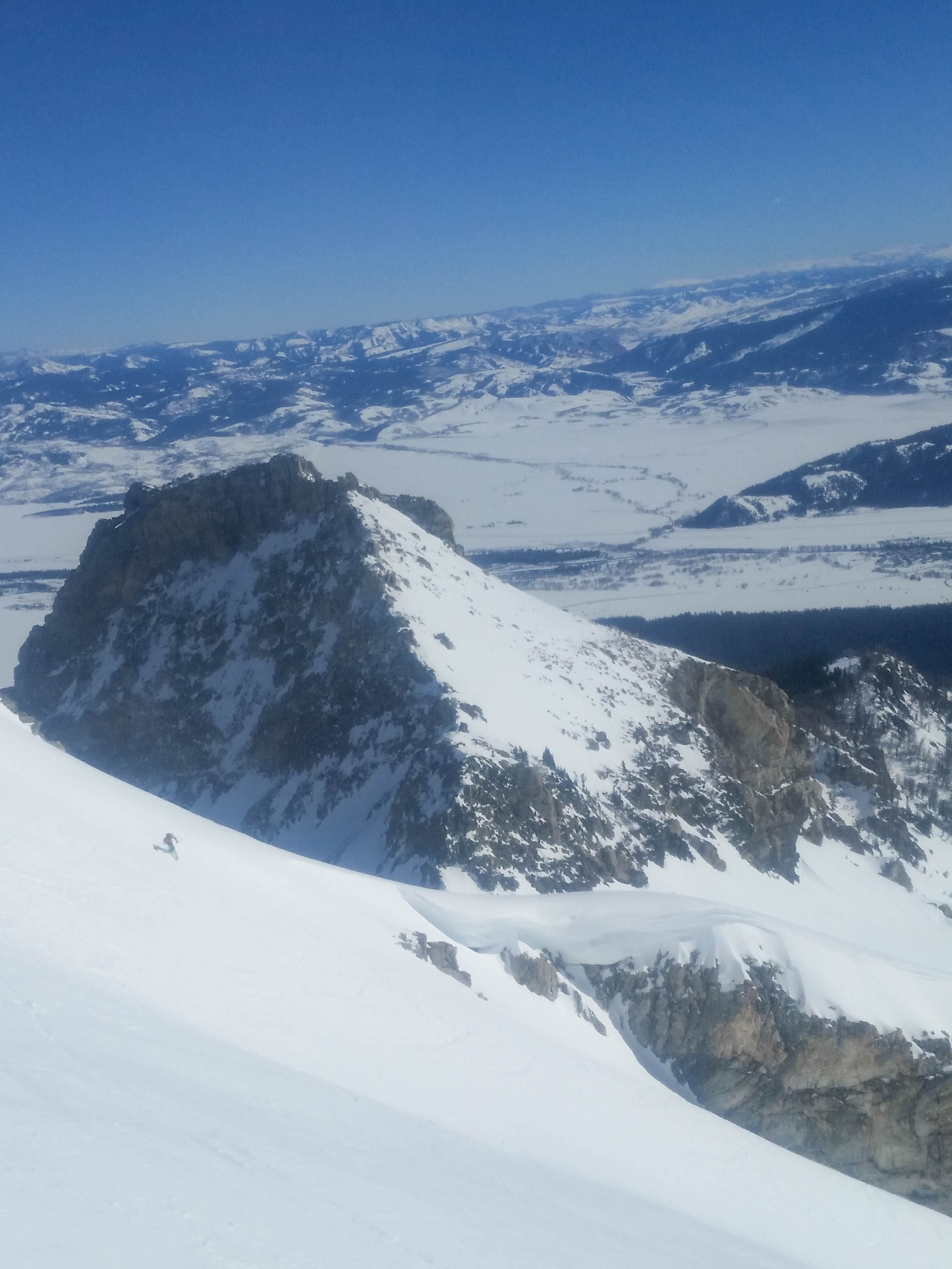
From here, we worked our way down and to our left into the main path of the couloir. Amor a Vida is one of the most amazing couloirs in the Tetons, with massive overhanging rock walls, a great pitch and some fun skiing. We had a blast getting down the run, taking it in numerous sections to ensure we were taking it all in. The couloir was predominately powder in the main path, with a few pockets of crust, but overall it was amazing skiing!

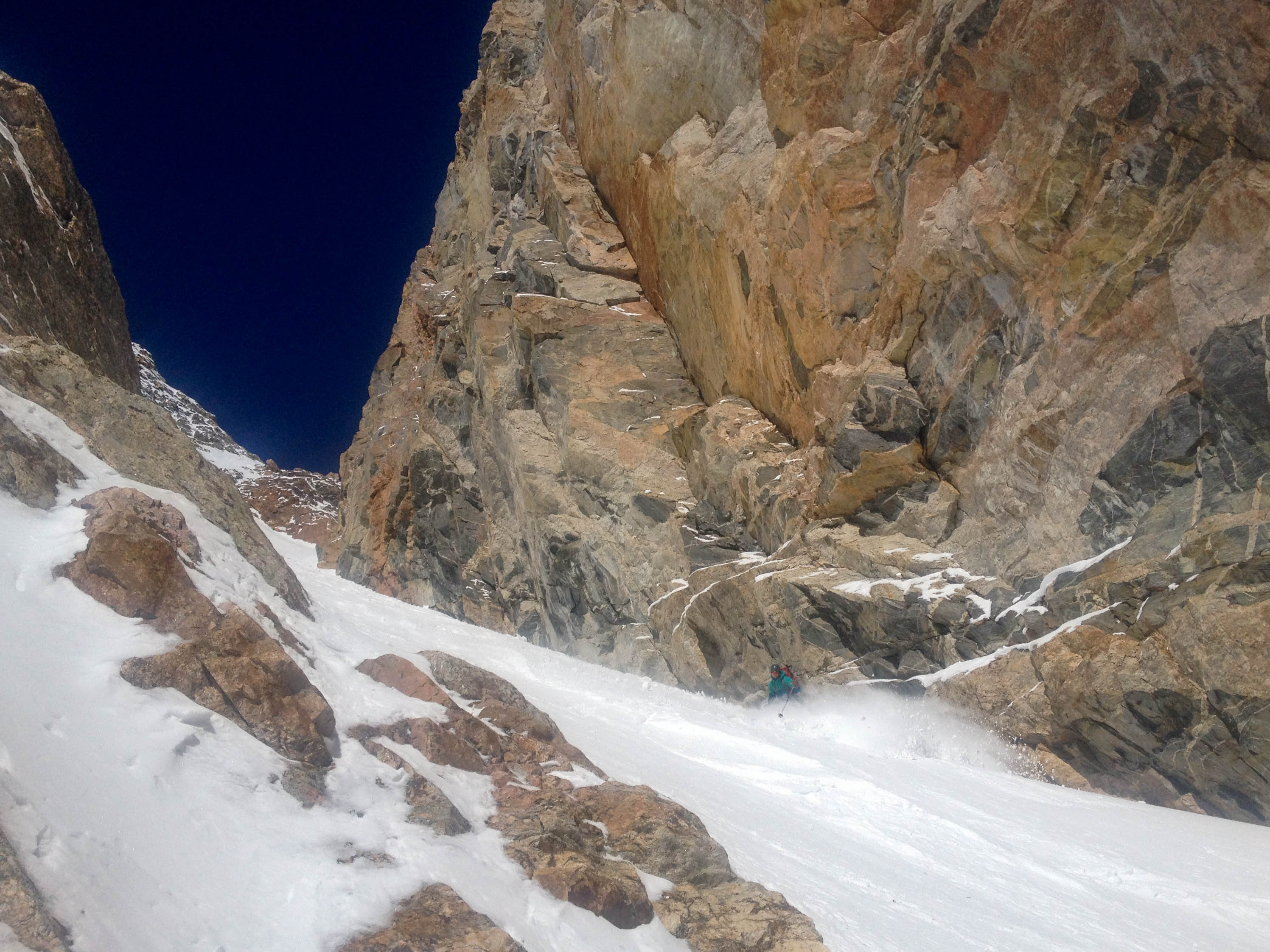


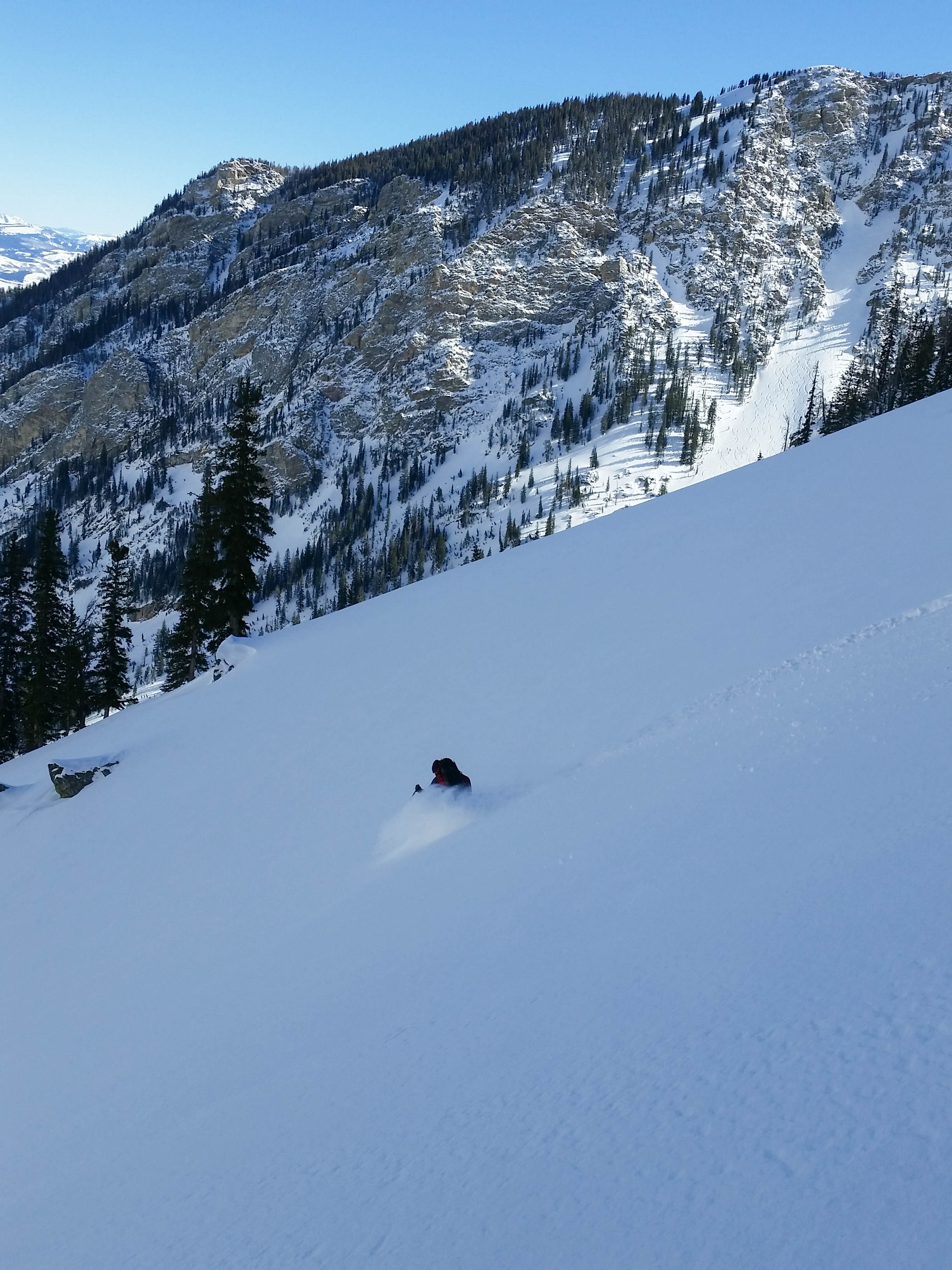
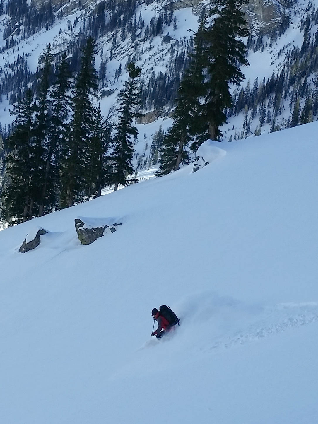
After making it down the 1600′ couloir safe, we still had about 2500′ of skiing until we hit the Avalanche Canyon traverse. We milked the turns and were just pumped to have skied such a fun run. We made it back to the trailhead in 8hrs and were already looking forward to more adventures in this special place we call home.